Archive for the ‘New Zealand’ Category

Date with Extinction

Friday, February 8th, 2008

For a thousand years before people settled in
New Zealand, a small alien predator may have been
undermining the islands’ seabird populations.

Our yellow Zodiac bobbed across the choppy sea and made its way slowly through the clouds of seabirds that wheeled and soared around us. Albatross, cape pigeons, diving petrels, mollymawks, mottled petrels, and sooty shearwaters all took their turns skimming our bow wave for fish. In the distance my boat mates and I could see the final stop on our sub-Antarctic tour: the Snares Islands, about 130 miles south of New Zealand’s South Island. The chorus of screeching birds drowned out our rumbling boat motor, and even from several miles away we could smell the acrid white guano that coats much of the Snares’s rocky coasts. During the summer breeding season the Snares, whose entire area totals not much more than one and a quarter square miles, are home to more than 6 million seabirds—as many as nest along the coasts of Great Britain and Ireland combined.

Today in the New Zealand archipelago, such dense seabird colonies persist only on small offshore islands, but at one time much of the coastline of the North and South Islands (by far New Zealand’s two largest islands, commonly called the mainland) would have been equally pungent and raucous. New Zealand once supported one of the most diverse seabird faunas in the world; the country was particularly rich in species of petrels. Nowadays those populations have crashed, and many species have been extirpated on the mainland. One can only imagine what it must have been like for ancient Polynesian seafarers reaching the shores of uninhabited New Zealand. The archipelago, no doubt a welcome sight after months of arduous ocean sailing in a double-hulled canoe, would also have presented a far different scene from that of most of New Zealand today.

But did these colonizers encounter a truly pristine environment? It would be easy to “round up the usual suspects” and blame the loss of so many species from the mainland on the encroachments of civilization. But in reality, the early Polynesian settlers were not responsible for the destruction of many of the seabird populations. Even before people settled this southern land, other visitors may have already irrevocably altered the New Zealand environment.

Those earlier arrivals on the New Zealand mainland were Pacific rats (Rattus exulans), or kiore, as they are called in the Maori language. It has been known for almost a decade that these small stowaways helped drive some of the native bird species from the mainland, or, in some cases, to outright extinction. According to the standard account of the invasion, the rats arrived in New Zealand between 800 and 1,000 years ago, in the canoes of the first Polynesian settlers. But in 1996, Richard Holdaway, an independent extinction biologist, presented evidence that the rodents first made landfall perhaps a thousand years earlier. That date has called into question the entire sequence of prehistoric events that shaped New Zealand—and, not surprisingly, has fueled much debate in New Zealand about the strength and validity of Holdaway’s evidence.

But even more, Holdaway has hypothesized that a rat-generated crash in island bird populations could have led to “a cascade of damage” and even to a change in the nearshore oceanic food web: seabird colonies generate a prodigious quantity of guano, which can form a kind of organic bridge between sea and shore, enriching soil and promoting plant growth. If the seabird populations crashed, Holdaway argues, so did this bridge. The islands would have lost a major source of nutrients. If Holdaway is right, the rats had accidentally landed on a choke point of the ecosystem, causing a ripple effect that went far beyond the destruction of seabirds.

Thanks to their remoteness—New Zealand lies 1,200 miles east of its nearest neighbor, Australia—the North and South Islands faced the onslaught of invaders considerably later than did many other islands around the globe. But just as they have on Hawaii and Guam, alien species that were suddenly introduced onto the islands have had devastating effects. New Zealand birds were particularly at risk, because they had evolved for millennia in the absence of mammalian predators (indeed, the only land mammals of prehistoric New Zealand were three species of ground-feeding bats). Many of the native birds were flightless and seminocturnal, making them easy prey for the rats and the eleven other introduced species of predatory mammals that eventually prospered in the archipelago. Even seabirds were vulnerable; though they can spend months of each year at sea, many of them nest in ground burrows and are helpless against terrestrial threats.

More…

New Zealand Sweet Stakes

Friday, February 8th, 2008

Natural History, May, 2001 by Laura Sessions

Sugar was a shared resource in a forest community until a greedy newcomer moved in.

Biologist E. O. Wilson has called invertebrates “little things that run the world,” because of their numbers, variety, and influence on larger organisms and even entire ecosystems. New Zealand is home to “little things” that, while each only a few millimeters long, have benignly modified about 250 million acres of the country’s beech forests. Known as sooty beech scale insects, these agents turn the resources of the beech trees into a substance crucial to their own survival and to that of other forest dwellers, from fungi to birds. The association of the insects and the trees is an ancient one, and the expansive food web in which they are actors was, until recently, intact.

Sooty beech scale insects (Ultracoelostoma assimile and U. brittini) are sap suckers, or homopterans, that grow in the furrowed bark off our species of southern beech trees (Nothofagus) in New Zealand. During its complex life cycle, the beech scale insect goes through several developmental stages called instars. The females pass through four stages, the males five. Second- and third-instar females insert their long mouthparts into the cells of a beech’s phloem–the tissues that carry nutrients through the tree–and suck up sugars. After satisfying their appetites, they excrete the excess sap and wastes through a waxy anal tube. A sweet liquid, called honeydew, accumulates one drop at a time at the tip of this tube, which looks like a thin white thread.

Homopterans are common and widespread. Most of the world’s 33,000 species produce honeydew, but few can match the beech scale’s enormous and constant output of the substance. In the Northern Hemisphere, honeydew producers such as aphids are active only seasonally, but beech scale insects draw off and convert energy from beech trees year-round, and they do so copiously during the austral summer. From January to April, the tree trunks in a southern beech forest often shimmer with a thick coat of honeydew, and the droplets’ heady, sweet smell fills the air.

In some forests, ten and a half square feet of tree trunk (think of the top of an average card table) may support as many as 2,000 scale insects. More than 40 percent of the food the trees have produced through photosynthesis may be lost to sooty beech scale insects. These beeches do not appear to be harmed, although for most plants, losses of much less than 40 percent of their energy reserves would be insupportable. Currently, scientists can only guess how the trees are able to withstand such a drain, but various theories are being explored. Possibly only the more vigorous and faster-growing beech trees are tapped by beech scale insects. Fallen drops may recycle sugars to the soil and thence to trees, or the insects may promote extra photosynthesis in host trees.

More…

Another big motorcycle trip

Thursday, February 7th, 2008

The open road and its choices…I went off today on another big motorcycle adventure. This will probably be my last one this trip as I am departing for the US on Tuesday.

Today, I went off east from Christchurch searching for a particular type of land. Hilly and wooded land with natural woods, not managed forest. This type of land is harder to find here than many folks might think. Much of the Canterbury Plains have been cleared of its original cover in favor of grazing lands or managed forests. You can go for very long stretches in some areas and see nothing else.

Today, I headed east out of Christchurch on Hwy 73 until I got to Darfield when I switched onto the eastbound Hwy 77. This took me to Glentunnel when I took my first excursion off the main road. Glentunnel is the beginning of an area that fronts up the the southern flanks of some foothills of the Southern Alps. It is in areas like these that we think we have the best chances of finding the kind of land we’re looking for. At Glentunnel, I went north to Whitecliffs and then west again on gravels roads that took me onto the north side of Pullwool Peak and Mt. Misery Peak.

I found this area disappointing. On the map, it is marked as the Glen Arlie Forest and I’ve now begun to understand that here in NZ, an area marked forest generally means ‘managed forest’. And I ‘get’ now that the many roads shown weaving through the bodies of these forests are not there because they are densely settled with holiday homes but rather because they are logging roads which the New Zealanders, oddly enough, give names to just as if they were normal roads. So, enough with ‘forests’ on the maps.

The entire Canterbury Plains is a relatively dry area as well. It isn’t unusual to see big mountain ranges on the western side just as bare as a baby’s butt. I don’t know if they’ve always been like that or if they were logged off earlier and have just degraded into bare rock and soil but they look very bare. In general, the plains and the foothills are mostly areas cleared for crops or grazing or for managed forests.

After the disappointment of the Glen Arlie Forest, I continued west on Hwy 77 to Windwhistle. here I cut north to Coleridge Road. And from it, I went a long spur to the east called High Peak Road. It was pretty, but again, it was grazing or managed forests. Then I cut back to Coleridge Road and was just going to go north for a bit.

I can see now that when I was on my way to Windwhistle and I did some exploring on Washpen Road, I missed a good bet when I failed to go north up Dart’s Road because I see now that it went up and into a Conservation Area called Rockwood (which I now understand is likely to hold the kind of forest we’re looking for). I’ll need to revisit this area next time.

But I continued on Coleridge Road because the valley I found myself in, while not naturally forested, was arrestingly beautiful. On the western side, a huge range of bare but imposing mountains rose up over one of New Zealand braided rivers; the Rakaia. The Rakaia river, the bare mountains and the Southern Alps in the distanceFar to the west at the head of the valley, some of the big southern Alps rose up, covered with snow. I kept driving and driving just to see more and went miles away from the places I’d intended to investigate. I was tempted to just keep going and let the wanderlust take me but finally, I stopped at a place called Lake Coleridge; a town with the same name as a nearby lake. The road goes on for awhile beyond Lake Coleridge but I could see on the map that it just died before long. So, Lake Coleridge was literally the end of the world. A strange place. I think it mostly exists to support the hydroelectric plant there. Rakaia River - yep, the water really is that colorThey bring water over the hill from Lake Coleridge and huge pipes and deliver it to the plant by gravity which uses it to spin the turbines and then dumps it into the Rakaia River.

I turned around after taking a look at Lake Coleridge and its plant and headed back to Windwhistle where this diversion began. Once there, I turned west again and continued to follow Hwy 77.

A Kiwi BLTI was running low on gasoline and it was time for a cup of coffee and some lunch so I took a detour down to Methven, a touristy town a few miles south, and filled up (an attendant who knows motorcycles came out and had a very good look at my motorcycle because very few of this model have ever made it to New Zealand) and I then had a Latte and a BLT at an outside table at a restaurant on the main drag in town. Ordering food in New Zealand can still bring the occasional surprise. The BLT, when it arrived, was open faced and had the NZ style thin round cut bacon on it. Surprising – but excellent to eat!

The next area I was interested in was the Alford Conservation Area and, specifically, the southern slopes of the area’s foothills. As I approached the area, I could see that the foothills here were forested and it looked like natural forest. Yahoo. Real forest at the end of the roadI went up a couple of the gravel side roads trying to get up into it and on the second one, Flynn’s Road, I got lucky and it took me right into the forest and to a trail head area that serves as a stepping off point for hikes to Sharplin Falls and other points. I spent a fair amount of time here shooting pictures and walking around. It was definitely the right kind of country. That’s what we’re talking about !And it soon occurred to me that the real question was did anyone have private land for sale in the area that abutted the Conservation Area and that contained this same type of forest.

Today was suppose to be a partial solar eclipse here in New Zealand (unless I’ve been the victim of a hoax) and it was due to hit maximum darkness at 437 PM. It was now about 405 PM and so I decided to zip down the Hwy to Mt. Somers and find a place to have an ice-cream cone and sit outside and watch the fun.

This was a very good decision. (I found out the following day that the eclipse was, indeed, real but I was unable to see it using the pin hole in a paper method). In the meantime, a fellow came up to the store where I was sitting eating my ice-cream and we began to talk and I asked him about properties in the area. What a stroke of luck that question was. Ken had moved from Christchurch nine years earlier to the Mt. Somers area and knew many of the farmers who owned properties along the southern flanks of the conservation area foothills. He invited me home for a cup of tea where I met his wife, Lynn, and he made a phone call to a friend of his with a property in the area I was interested in and off we went. How very lucky is that?

Ken and Jocelyn with her land behind Ken and Lynn at their house as I’m ready to depart

Jocelyn and her husband, Errol, own 94 hectares or about 233 acres of land just at the base of the foothills. She took Ken and I on a long tour of the place. A beautiful property it is. Paddocks, creeks, good outbuildings, well maintained and great views. After a good look around, I came to doubt it’s the place for us, though, as we’re looking for a place with more hills, less pasture and more forest (or bush as the Kiwis say) on it but someone’s going to get a great place here.

While we were looking at one corner of Jocelyn’s place that did have some bush on it, I ask them about the black encrustations I see on so many of the trees in naturally forested areas in New Zealand. They said it was a bug that lives there and that if you look close you can see a little hair that it puts out that often has a small drop of honey-like liquid on it. Honeydew, it is referred to. Sure enough, I looked and saw what they were talking about. They said it seems harmless to the trees and it’s been around for a long time. When I got home last night, I did some searching on the Internet and came up with some more information about what going on with this black encrustation. They are called, “Sooty beech scale insects”.

Ken and I went back to his placed and talked for a bit more. By now, it was 730 PM and I needed to take off for my ride back to Christchurch before it grew dark. Ken invited me to stay for tea (that’s how Kiwis refer to the evening meal) with he and his wife and daughter and her partner but I declined after consulting my watch. So, a few handshakes, the exchange of E-mail addresses and I was off. What a great bit of luck to meet someone like Ken who knows the area so well.

The ride home wasn’t much fun. Long straightaways across the Canterbury Plains at 100 kpm blasting into the teeth of a strong wind. But, it passed and about 830 PM, I arrived home after putting 220 miles or about 366 km on my bike for the day. A great machine, by the way. Never a complaint and it just roars down the road straight and true.

My motorcycle trip to Takaka

Friday, January 18th, 2008

New Zealand - South IslandThe day I set off dawned beautifully and it set the tone for the five days I would be out. And, on the sixth day, when I was safely home and warm – it rained. I’m a lucky man, no doubt.

There I am !There were two purposes for my trip from Christchurch up to Takaka and back. One, was to see my friends, Bob and Cynthia and their two girls; Jenny and Marie. Bob and his family had just moved to Takaka in the last month and I was eager to see their new lives on Golden Bay.

And the second purpose was to give myself more familiarity with New Zealand’s South Island in general.

Sharon and I are looking for land here where we might settle. In fact, we have a specific kind of land we’re interested in and we’ve wanted to get clearer about which parts of the South Island might be good candidates.

(more…)

About censorship and Al Jazeera in the U.S.

Wednesday, January 9th, 2008

Al Jazeera LogoIt would be hard to be unaware of Al Jazeera in the U.S. It is, of course, the Middle East news agency. I’d always thought that Al Jazeera was focused on delivering news about the Middle-East to the Middle-East and that the only time their reports surfaced on U.S. media was when major things were going down in their area and they had the best news feeds.

So, imagine my surprise when I found myself looking at Al Jazeera here in New Zealand on cable. And even more surprising is how utterly professional they are. Their news shows rival anything that CNN, the BBC or the German DW networks are putting out. When I first saw their stuff some years ago, they seemed small and provincial. They are anything but that now.

So, where are they on the U.S. networks? The answer -is that they simply are not there. They’ve been banned from the U.S. networks by the government.

If they were simply a transparent propaganda mouthpiece for radical Islamic viewpoints, then I could understand, perhaps, this censorship. Though, in general, I disagree with censorship – if folks don’t like something, they are free to tune away from it.

But, the Al Jazeera network isn’t a lot of grainy video of mullahs extolling young Islamic men to become martyrs for Islam and Allah. It is, instead, just another international news network – one that happens to originate in the Middle-East.

We in the U.S. don’t agree all the time with the Germans or the Chinese or even the British, but all of their networks can been found among our cable channels if one goes looking. Frankly, I don’ get the logic for this suppression.

And, the worst of it is, I didn’t even know it was suppressed until I came here and saw it on New Zealand’s cable.

I am impressed with the courage of the New Zealand governmental authorities. They seem so sure that allowing Al Jazeera to be broadcast over the New Zealand airwaves isn’t going to cause the corruption and destruction of New Zealand culture. I wonder what they know that the U.S. folks don’t?

If you want to see Al Jazeera, there are ways to watch it from the U.S. via the Internet. Here’s a link:

Take a look and see if you understand why it’s been banned in the U.S.

080108 – Tuesday – Back from my trip

Monday, January 7th, 2008

Queen Charlotte Sound near Havelock

I’m back from my jaunt up to Golden Bay and back. I’m preparing a post on the trip with lots of photos but it’ll be another day or so before I publish it.

Until then, here’s my routing for those of you who know New Zealand’s South Island.

Northbound (January 2nd):

Christchurch > Waipara > Springs Junction > Murchison > Motupiko > Motueka > Takaka.

Eastbound (January 5th):

Takaka > Motueka > Richmond > Nelson > Havelock > Picton.

Southbound (January 6th):

Picton > Blenheim > Kaikoura > Cheviot > Gore Bay > Waipara > Christchurch.

– more to come on this trip soon.

080101 – Tuesday – off on a big ride

Monday, December 31st, 2007

New Zealand - South IslandI’m off tomorrow early for a big ride up to the north end of the South island to visit my friends, Bob and Cynthia, who moved up to Takaka near Golden Bay recently.BIG image of northern part of the South Island This second image of the northern part of the South Island is big so if you have a slow connection, don’t click on it because it’ll take awhile to download.

I’ll probably follow in inland route to their place. I’ll stay there for two days and then on the 5th, I’ll take off and return via Kaikoura on the eastern coast of the South Island north of Christchurch which will route me all along the ocean along the top of the South Island and then all down the east coast.

With no delays, I’ll probably be back here on Sunday, January 6th. I’ll have photos and another report on all that I see along that route.

Right now the weather’s shaping up beautifully. 27 C predicted tomorrow which is 80 F.

Cheers, until then.

071230 – Sunday – A ride to nowhere and back

Sunday, December 30th, 2007

Yesterday, after tennis, the afternoon was looking good for a ride and I had one in mind. I’d seen a place on my detailed New Zealand map book called the Omihi Forest up just above Amberly Beach north of Christchurch – about 40 km, or 25 miles, as the crow files. It was 1:30 PM, the weather was good. It was time to ride out and see a new place.

Most of the way there, I was on New Zealand Highway 1 which is a good road and marked for 100 km/hour maximum – which works out to about 65 MPH on the US system (and on the speedometer on my U.S. motorcycle).

Vroom… I was there. Once there, it took a bit of back tracking to find the Mt. Cass Road where it peeled off the east just south of the small town of Waipara but, I found it.

Begining of the Mt. Cass RoadBetween the wine-growing valley that Highway 1 runs north through and the coast to the east, stands a low range of hills and this road wove up through these.

I was headed here because on the map, the Omihi Forest is shown as a green area (denoting forest and/or bush) and it has a dense group of roads woven through it and named things like Boundary, Kate, Tussock, North West and Sandy. It looked to me like there was a community set amid a forest on the coast. Cool!

About half way up Mt. Cass Road was suppose to be a turn-off to the south going to this area. When I got there, I found a locked gate and a sign saying the the entire area was private, restricted and contained a land-fill and was owned by something called Transwaste Canterbury, Ltd.

Mmmmm. That was a puzzle. Did I have the right road? Did these folks live back there behind some sort of obscure security blockade?

On a Sunday afternoon at 2:15 PM, the gate was locked and I didn’t think anyone was coming along anytime soon to open it so I decided to abandon that plan for the moment and see what else was down the Mt. Cass Road. According to the map, it went on down to very near the coast.

Past the Landfill - some forestry blocksThe road changed to gravel at this point which limits me to driving in 1st or 2nd and is always a bit nerve raking. Oddly enough, after it ran for a half mile or so as gravel, it changed back into pavement and then again after a bit, back to gravel. My driveway right now is gravel and i just looked at the best driveway paving options. I’ve seen this now several times on back-roads and it is always a great mystery to me. Someday, I hope a knowledgeable Kiwi will explain why this happens to me.

So, the road wove on and on through mostly open countryside with some forestry blocks until I came to a house where a number of Maori were unpacking a lot of gear from their car – as if they’d just arrived for a weekend getaway. End of Cass Road with the House and the ocean beyondThey smiled at me as I passed and I went around the curve where they were and immediately found myself at what was obviously the end of the road. I was in the midst of their out buildings and their private yard space. Same view looking a bit more northOops. Stop, maneuver around and go back. Everyone smiled at me again and I headed back up the road thinking that was a rather sudden end to my explorations.

Between the Transwaste mystery turn-off and the adventure at the end of Mt. Cass Road, I’d seen another opportunity. Sign for the Tiromoana Walkway at the parking areaThere is a thing called the Tiromoana Scenic Reserve on the coast mid-way between the mysterious Omihi Forest to the south and the farm at the end of Mt. Cass Road to the north. I decided to give it a look.

If nothing else, this would be a way for me to walk through the countryside and get down and see the beach there as well. It’s worth noting that here, only 25 miles from Christchurch, there are large chunks of the coast that have no apparent road access. If anyone’s out there, it must be by private access and 4WDs. New Zealand is an amazing place.

I parked it the parking area for the beginning to the Tiromoana trek and no one was there. Earlier, when I passed on my way to the end of Mt. Cass Road, there’d been a van but now it was gone. It was 2:40 PM and not a soul was in sight.

I hadn’t come prepared for a tramp but it seemed a small distance on the map. I looked my motorcycle, took a plastic baggie with a few pistachio nuts in it and wearing a floppy hat and a long-sleeved tee-shirt, I set off (after securely chaining my motorcycle). Camera and GPS unit were in-hand as well.

Company joins me - Baaa! Baaa!Pretty country. Downhill. Soon I was walking through areas with sheep. They looked at me and I looked at them. They weren’t as wary of me as others I’ve seen but it was obvious that there was to be no petting here. The tramp to the sea beginsI continued to walk downhill. They said “baaaa” and every so often, I said “baaaa” back. More downhill.

Barbara’s Lookout (didn’t see Barbara there)The road wove around and offered me a chance to see the view from Barbara’s Lookout. I took a look. It was nice but I wondered if Barbara had actually spent a lot of time there – looking out.

Down around the side of that hill, descending all the time and there is the distance was a forest block which I seemed to be heading for. Nice. I definitely wanted to walk through that.And we all continueThe sea is visible and you can look down to Ella’s Pond

Eventually, I got to the forest block and the path did, indeed, go down through it in a series of switchbacks. As a forest, it seemed rather sterile to me. I imagined that long ago, when the Maori or Pakeha first cleared this land, that all the native animal life had gone extinct in the area. The entrance to the forestry block - a nice placeThen later, they planted this managed forest block and very little, if any, of the previous inhabitants had returned. The trees with around two feet across at the base and had obviously been growing for some time. There was some undergrowth. A fern here and there in the middle and a few other plants but, for the most part, the gound beneath the trees, other than being deeply blanketed with needles, was bare.

I wondered if the underground fungal mycelium connections that so many forests have as an integral part of their biosystems was operational here. I imagined the various animals I would expect tobe present in a similar forest in the U.S.’s Pacific Northwest. New Zealand didn’t have any mammals other than a few bats when man arrived so they never were here. Just birds and marsupials. And now the inappropriately introduced Australian Possum which has become a plague on the place. It was a quite and empty place to walk through.

The broad slope below the forestry block and the sea beyondOn the other side was a broad sweep of grassy open space trending downhill and now I could finally see the ocean that I’d Looking back up at the forestry blockbeen hearing for some time. Still continuing down hill I proceeded.

I was beginning to think this was a rather longer hike than I’d imagined and I was getting a bit worried by the long decent I was making. I was musing to myself that I was already thirsty and hot and there was no water to be had – short of that I’d find once back on my motorcycle and into a town. And I was reflecting on the fact that I was out at the ends of the earth in an area that might well not be visited by anyone until after New Years. And I was thinking about the long climb back up to the parking area and that while I’m in good shape for an old guy of 60 – I’m not indestructible. It was at about 900 feet in elevation where I’d parked my motorcycle according to my GPS and if I went all the way to the beach, well, I’d obviously be 900 feet lower than that – before i turned around.

End of the open space, the road curves to the right and down into the valleyI came around yet another curve to see the next view after a rather long and steep downhill section and I could now see the beach below clearly through the valley’s gap. I thought it was still quite a ways down. The GPS said I was at 198 ft elevation – and I paused to reflect if I really needed to get to the beach that badly. My knees said, “No”.Around the curve the road decends and decends and I decide to rethink going further

So, I turned around and headed back up. And, it was, if anything, tougher going than I’d imagined coming down. Little steps, trudge, trudge, trudge. Heart rate up, hammer, hammer, hammer. No higher a rate than I run it during aerobics classes but still, not a lot of fun to be had when you know water’s a long ways away and there’s a lot a trudging and patience yet ahead of you.

A look north shows the clouds are darkening - it is 4:30 PMThe sky to the south over Christchurch was getting grayer and I recalled being told earlier that rain was due this evening. It was nice though, as the sun disappeared and the breeze blew cooler which made the going a bit easier.

I rested in the forest block and played with my GPS (thanks, Alicia!).

Then, recovered a bit, I began again. Up through the forest block and out onto the gravel tracks that snaked up and through the hills. Sheep were here again. Trudge, trudge, trudge - sheep butts as far as you can seeMost of them too lazy to get off the road, were content to walk ahead of me as if I was driving them somewhere. I had a great view of a lot of sheep butts for a long time.

Occassionally, one would get involved eating on the side of the road and forget me and then when I was just a few feet away, it would discover me and make a mad flight from the ‘monster’. Ha!

They said “Baaaa” and I replied, “Baaaa” as well and a few times I slapped my wet floppy hat on my leg and said John Wayne-like things like “Hee-ya” and “Get-along-there”, to let them know who they were messing with. All in all, I think we had a good time – and it passed the time and we went up and up and up.

Finally, the hill with my motorcycle on it appeared and when I crested it and the motorcycle was actually still there, unmolested, I breathed a big sigh of relief. It would have been a very long walk to anywhere to tell folks my motorcycle was gone and I was stranded.

Back at the motorcycle - and a bit wiserI setup the camera to catch an image of this fool who’d walked off to nowhere all downhill without a drop of water or foresight and once that picture was captured, I got on my iron-steed and rode away. Only one stop between me and home and that was at a convenience store for a pint of cold orange juice. My, did that ever taste good.

So, today, I’ve been to nowhere and back and it was a fair amount of work. So, let that be a lesson to you. <smile>.

071229 – Saturday – looking back on Xmas at Wainui

Saturday, December 29th, 2007

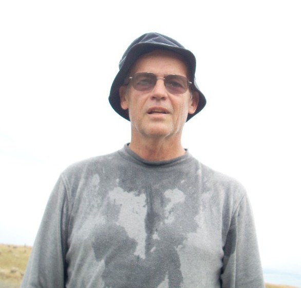
Kathy and Bruce, an American expatriate couple here in New Zealand, invited several of us over to spend Christmas with them at their new place at Wainui out on the Banks Peninsula. They’ve got 10 acres in what has to be one of the most beautiful places in creation.

New Zealand - North and South Islands
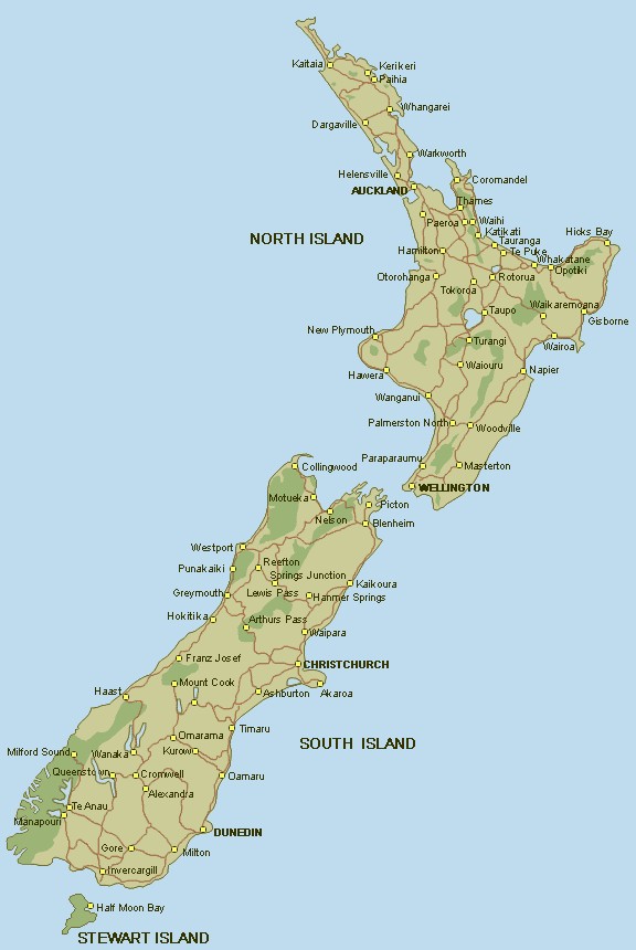
For those of you who have little idea of where New Zealand is, much less the Banks Peninsula or Wainui, here’s a bit of help. If you look at the map of New Zealand, you will want to look on the South Island about half way down on the eastern coast. Banks Peninsula on the east coast of the South Island
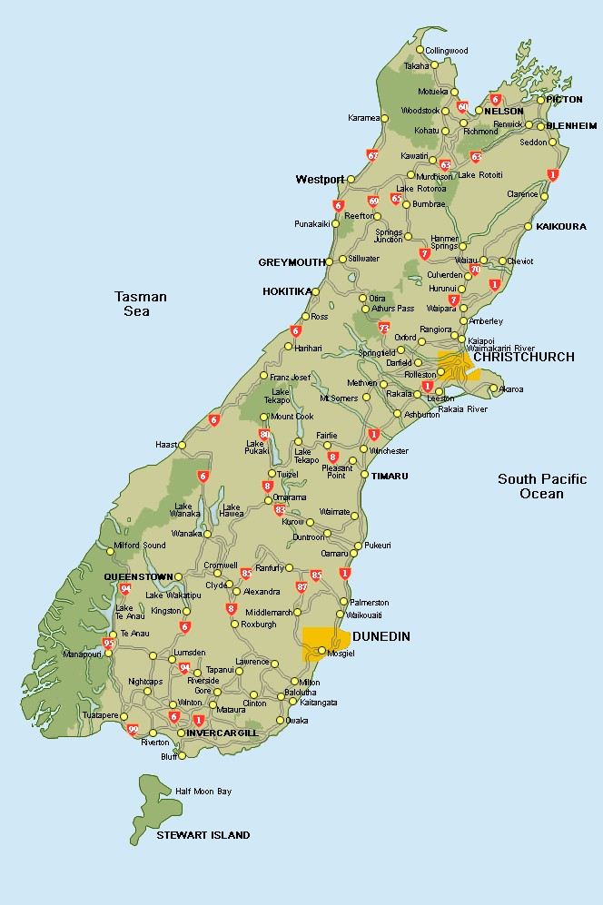
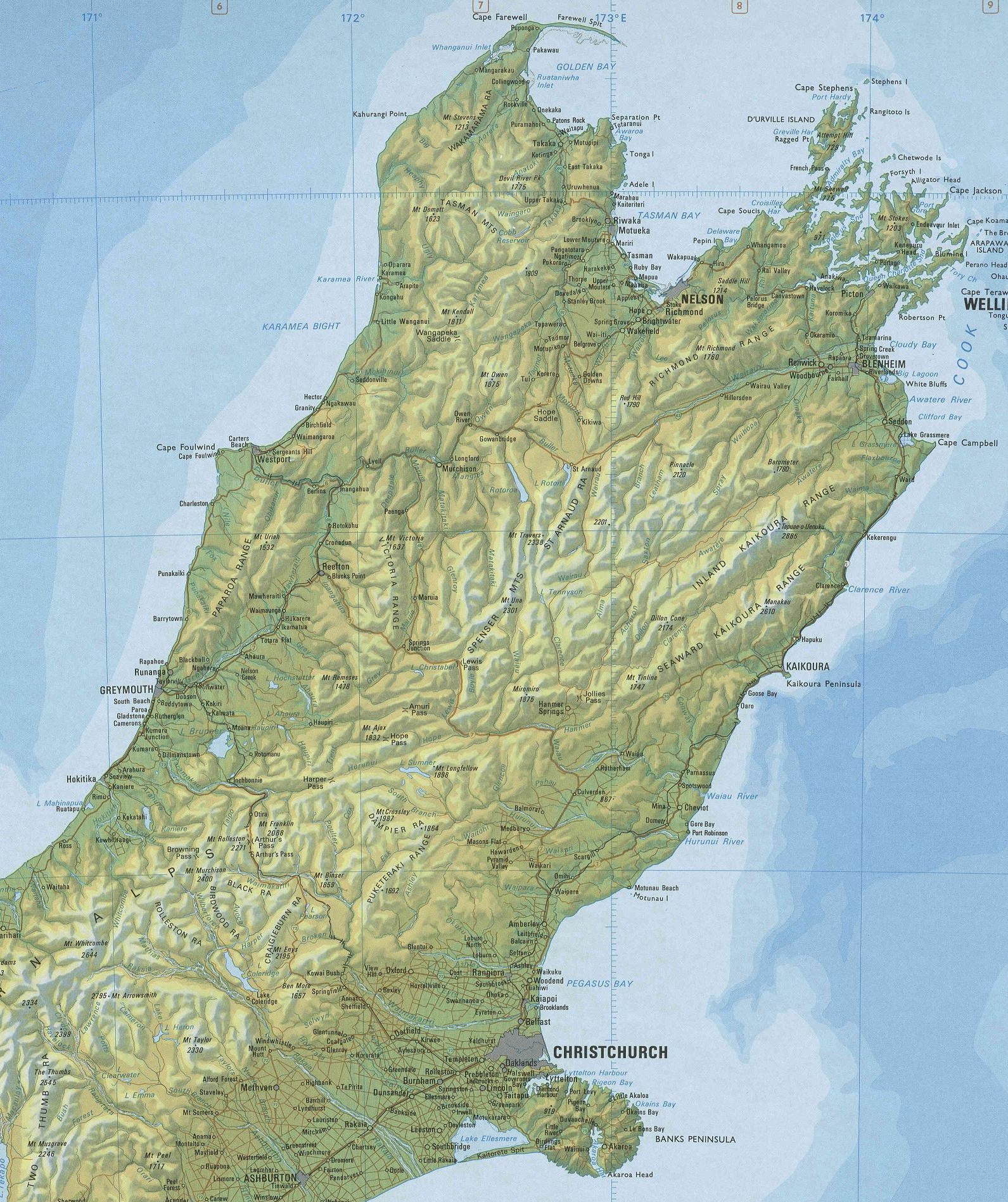
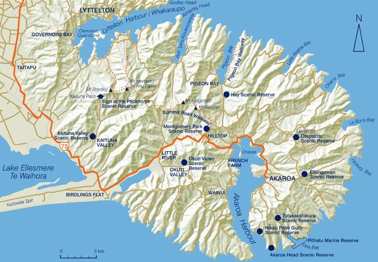
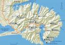
The bit of land that pokes out there is the Banks Peninsula, which is an ancient volcanic cone. One of the walls of the cone has collapsed and the sea’s come in forming an inner harbor. If you look at the second map, which shows details of the Banks Peninsula, you can see the harbor and if you expand the map, you will find Wainui on the western shore of the harbor.

Day break in Christchurch on the 24th
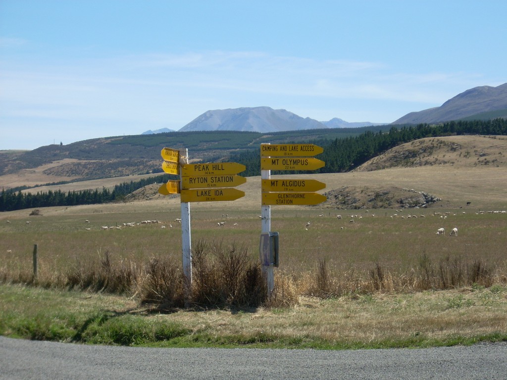
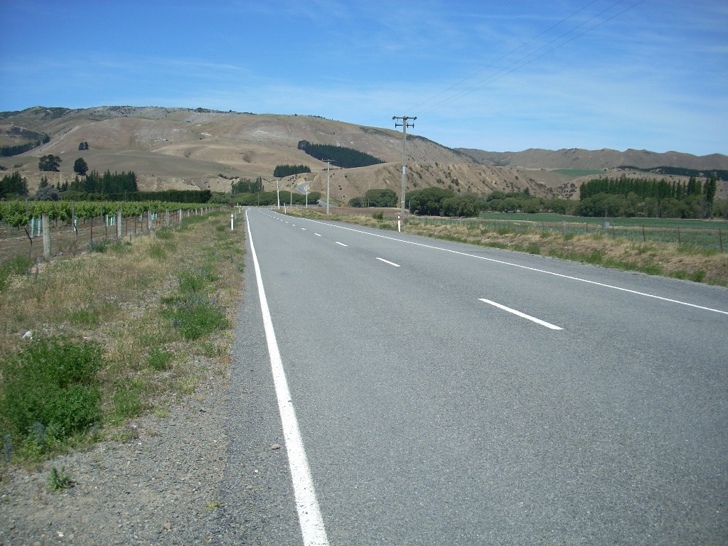
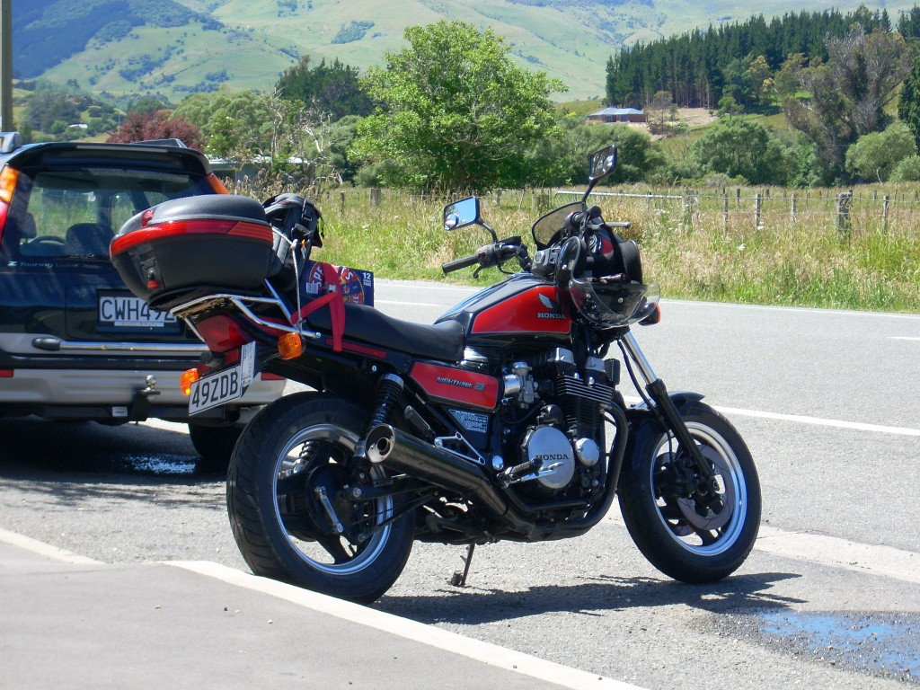
The day of the 24th began beautifully here in Christchurch and I drove out to Wainui on my motorcycle in the afternoon with the various food stuffs (I was responsible for the group’s salad makings) and beer required. The Iron Beast rests at Little River (note the beer)
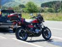
I stopped at Little River along the way for a cup of coffee and a sandwich called a “Butty”. It was bacon and egg between two slices of toasted bread and, one has to assume, some amount of butter. Whatever. it was good.

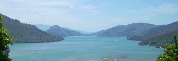
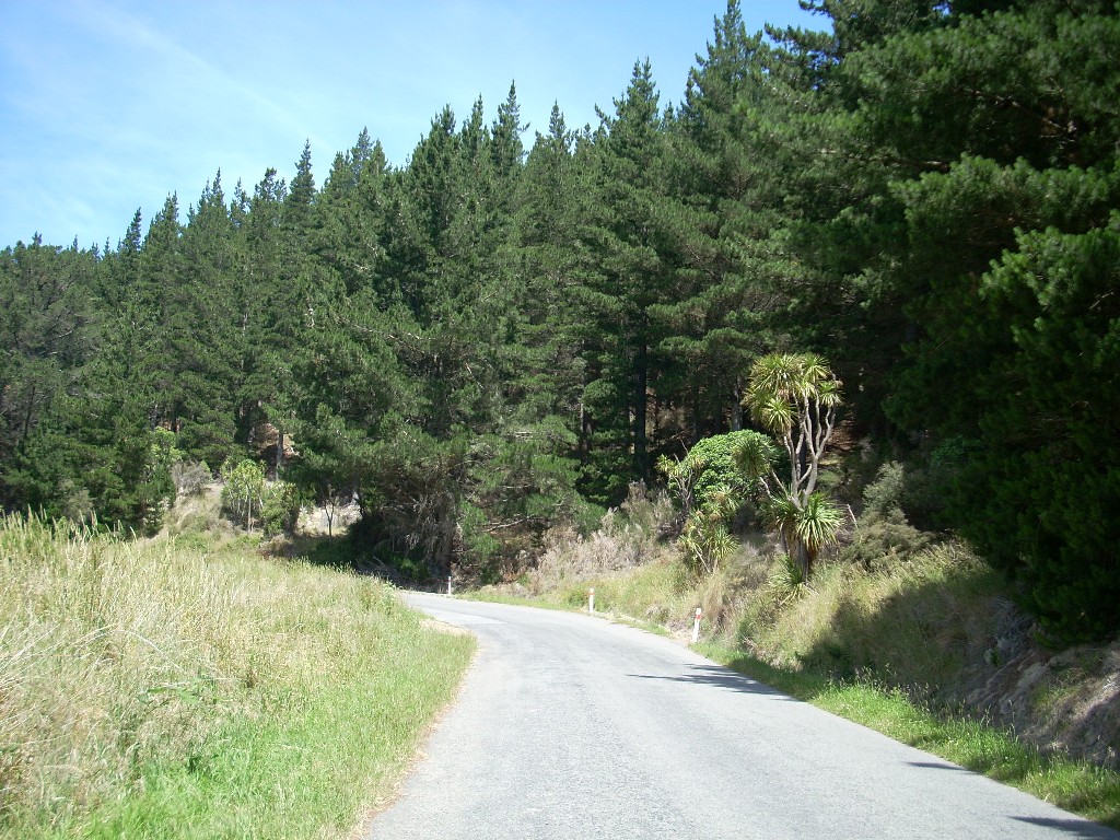
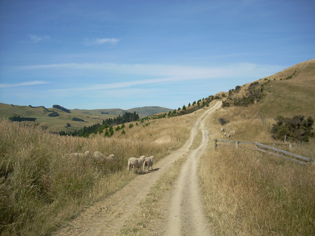
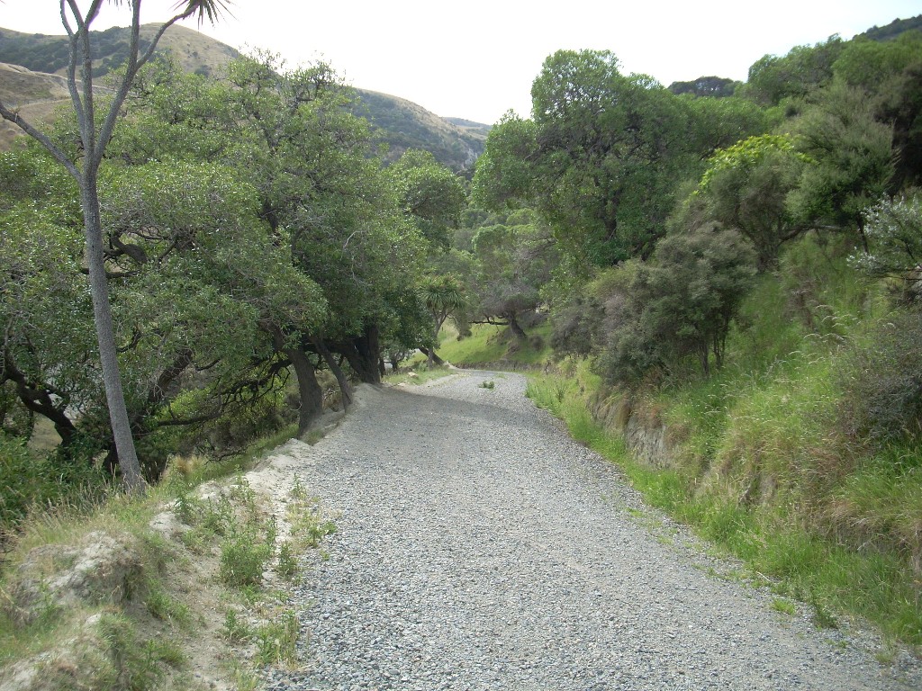
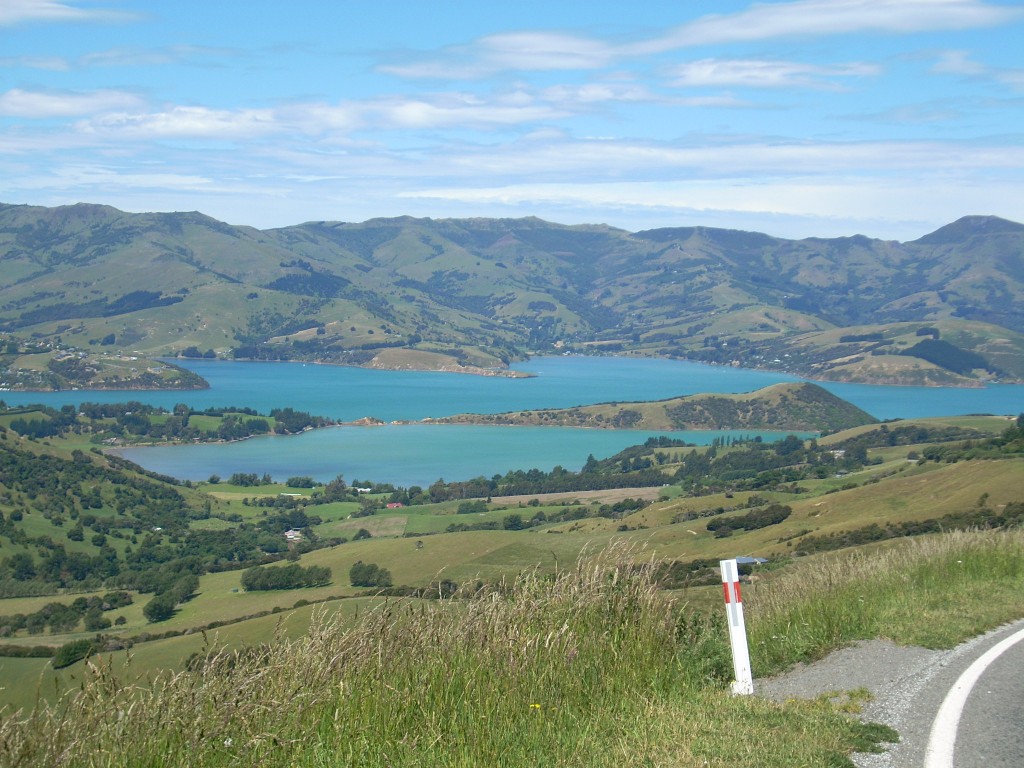
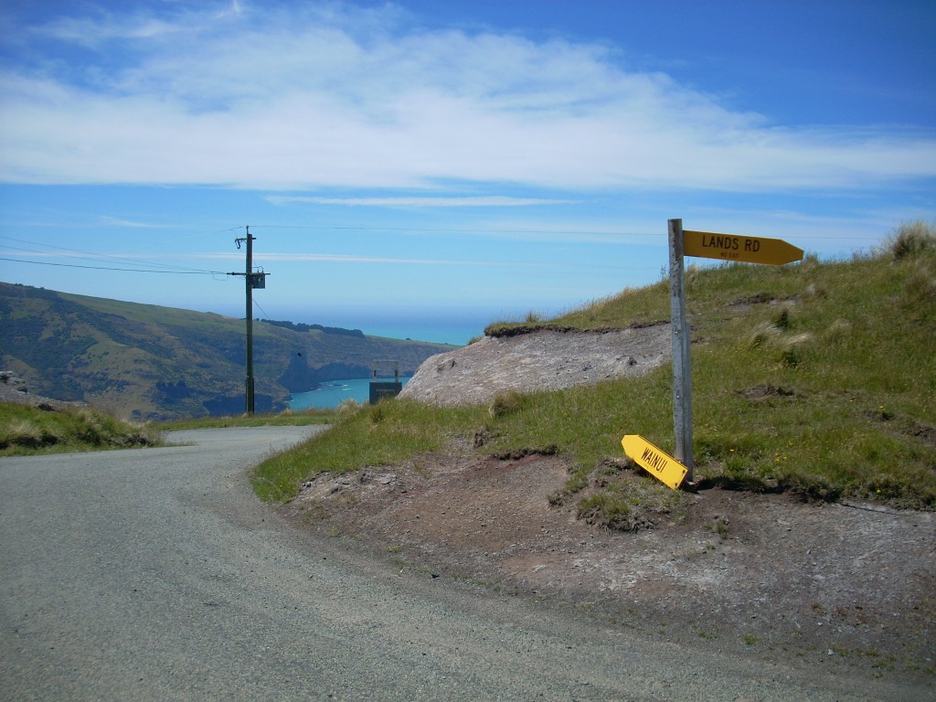
The ride to Wainui begins on the flat but about half way, you get into beautiful hills and you just never know what new sight will greet you around the next curve. Akaroa Harbor from the west side
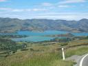
At one point, just after I passed a place called Hill Top, I had a great view of the Akaroa Harbor The harbor opens to the Pacific Oceanand then, a bit later, as I was approaching Wainui, I could see the gap further south where the sea broke into the inner cone long ago and out beyond that, the vast Pacific ocean stretching all the way to Antarctica.

Kathy and Bruce’s place is on the side of the hills that rise above Wainui. and they are (according to my GPS) about 750 feet in elevation, or as they would say here, about 230 meters. And, for those of you who just have to know, (you are such geeks!) they would actually be located near:

S 43 48 270
E 172 52 881

From Cemetary road
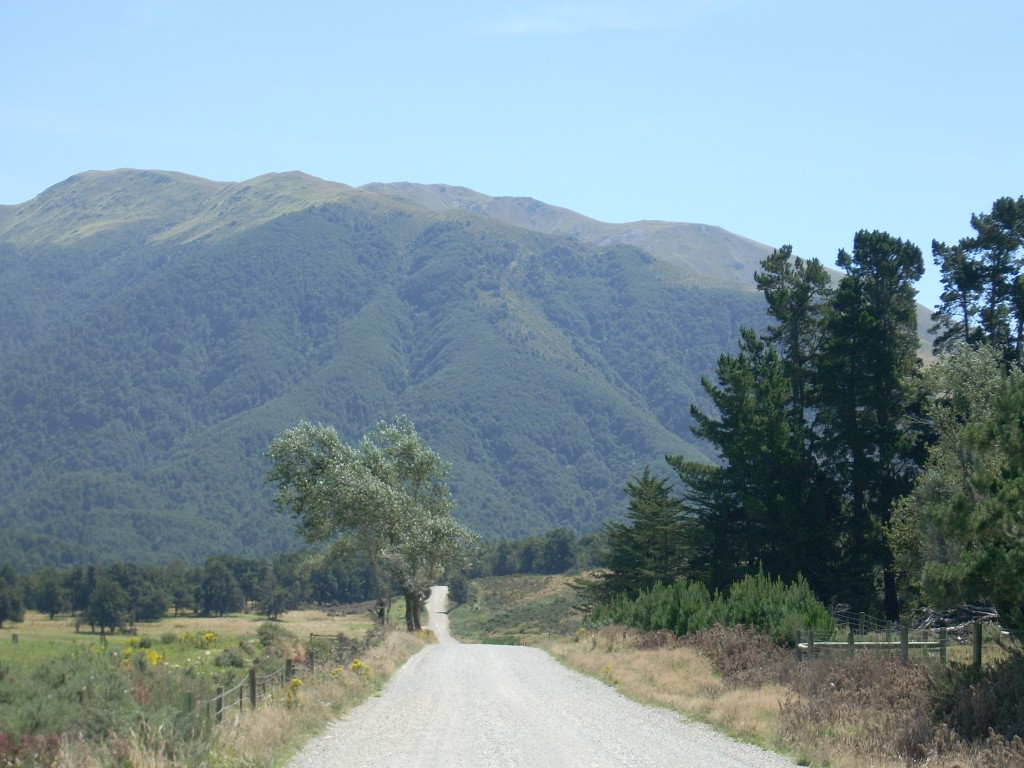
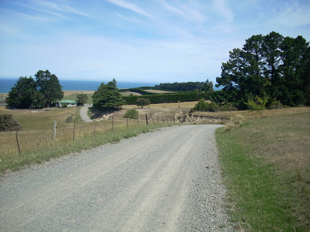
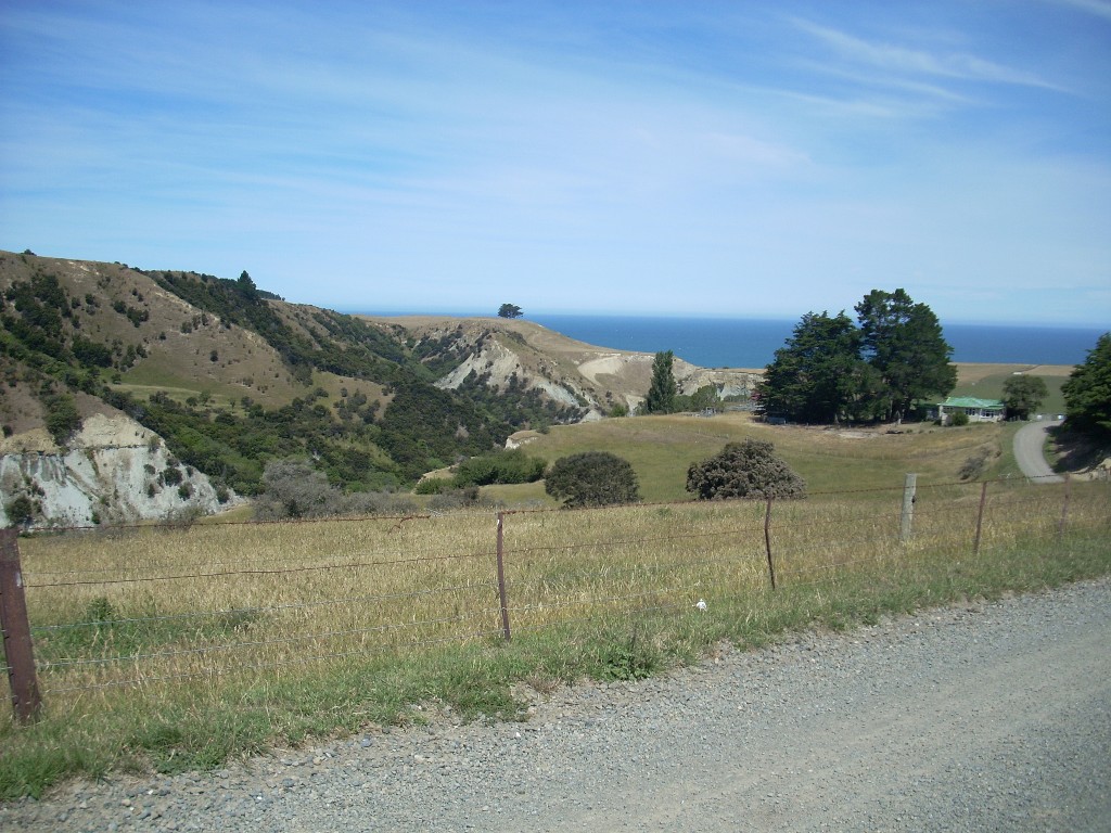
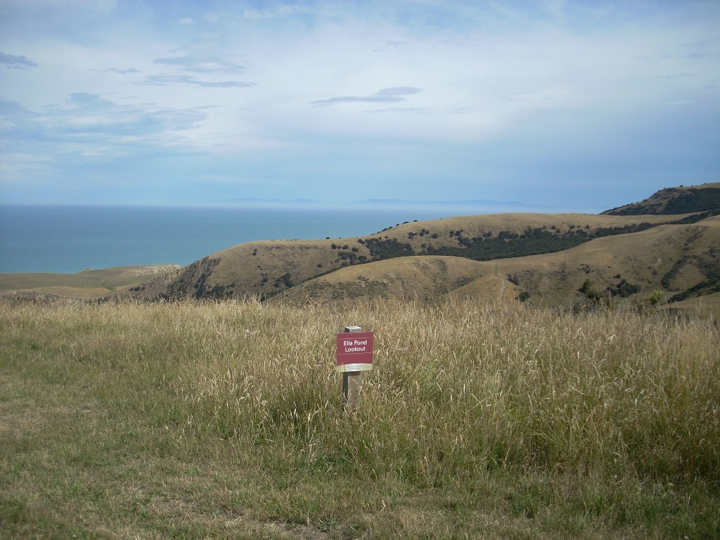
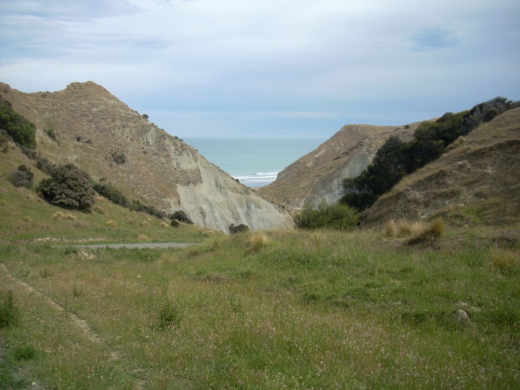
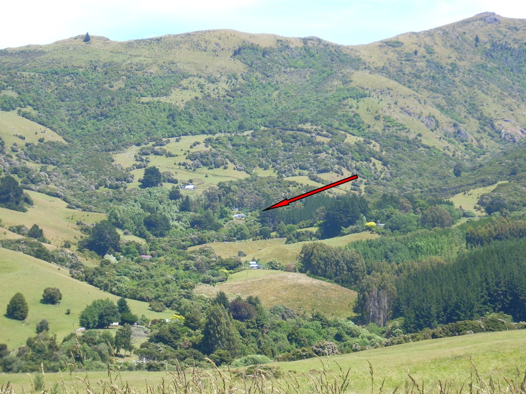
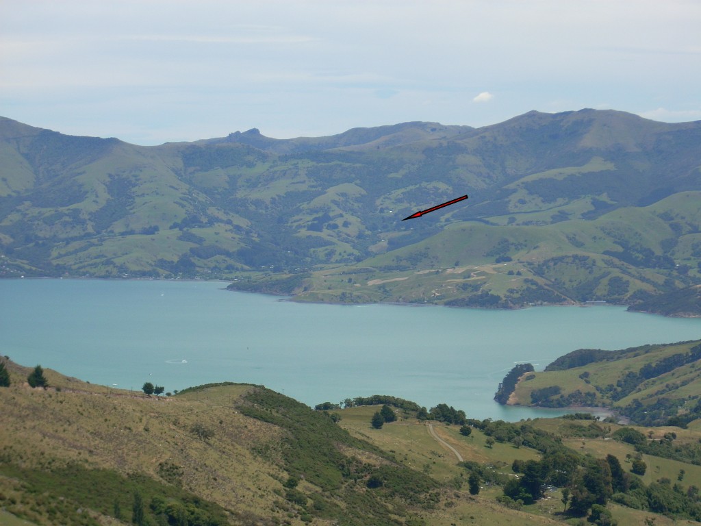
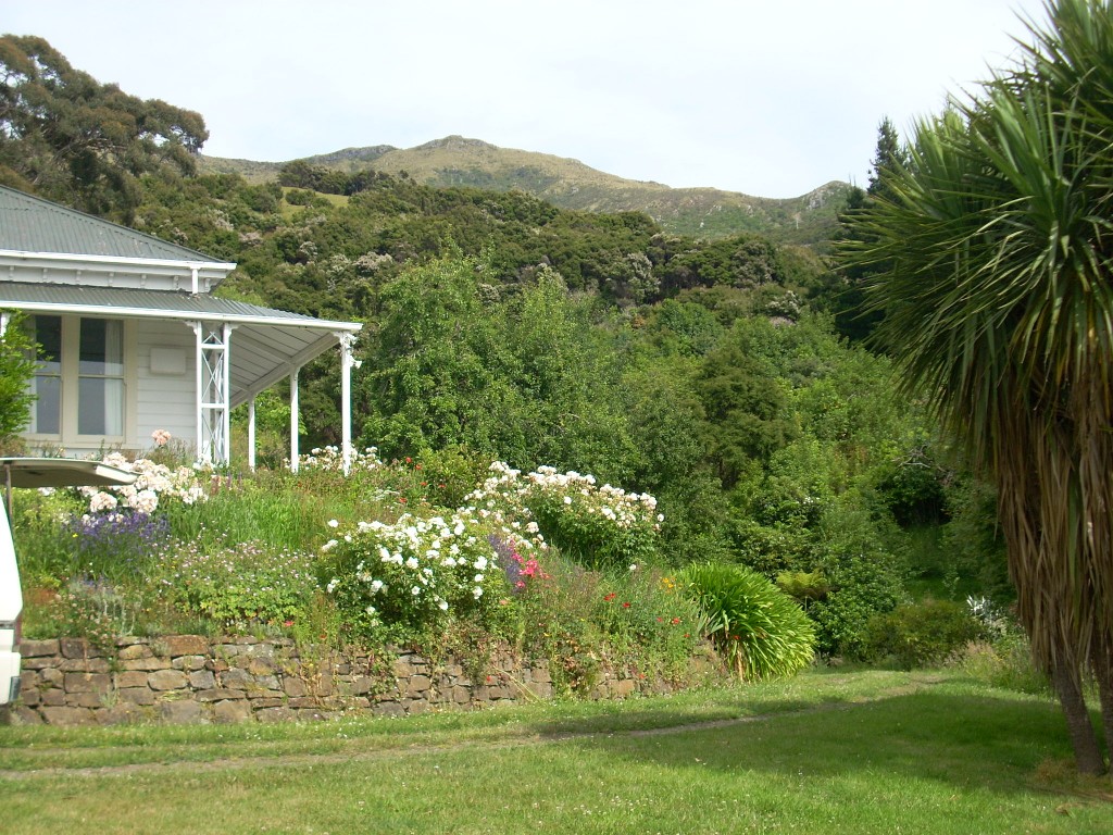
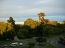
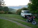
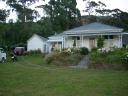
I took two photos of their place from a distance. Wainui as seen from the Summit Road above Akaroa
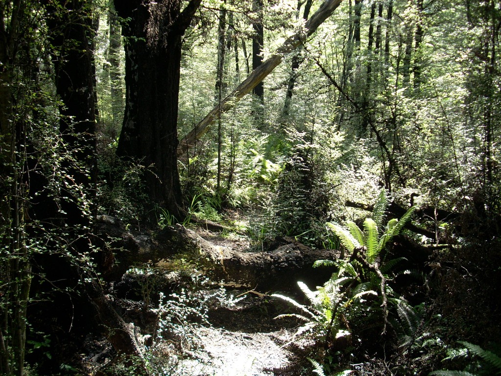
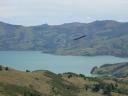
One is from the next road to the north of their road and the other is a telephoto shot from the other side of Akaroa Harbor a few days later when I was riding in that area. As you can see a lot of their 10 acres is forested or what folks here would call bush.

I park by Mark and Ingrid’s van
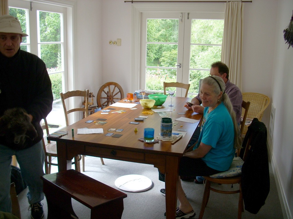
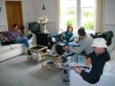
When I arrived, Kathy and Bruce were there as were Mark and Ingrid (brother and sister travelers) and Alex and Tobi – two more American expatriates to New Zealand. My room before I made up the bed - quite nice!I parked and threw my stuff into my room (had one of my very own!) and visited with everyone. The view to the harbor from their house
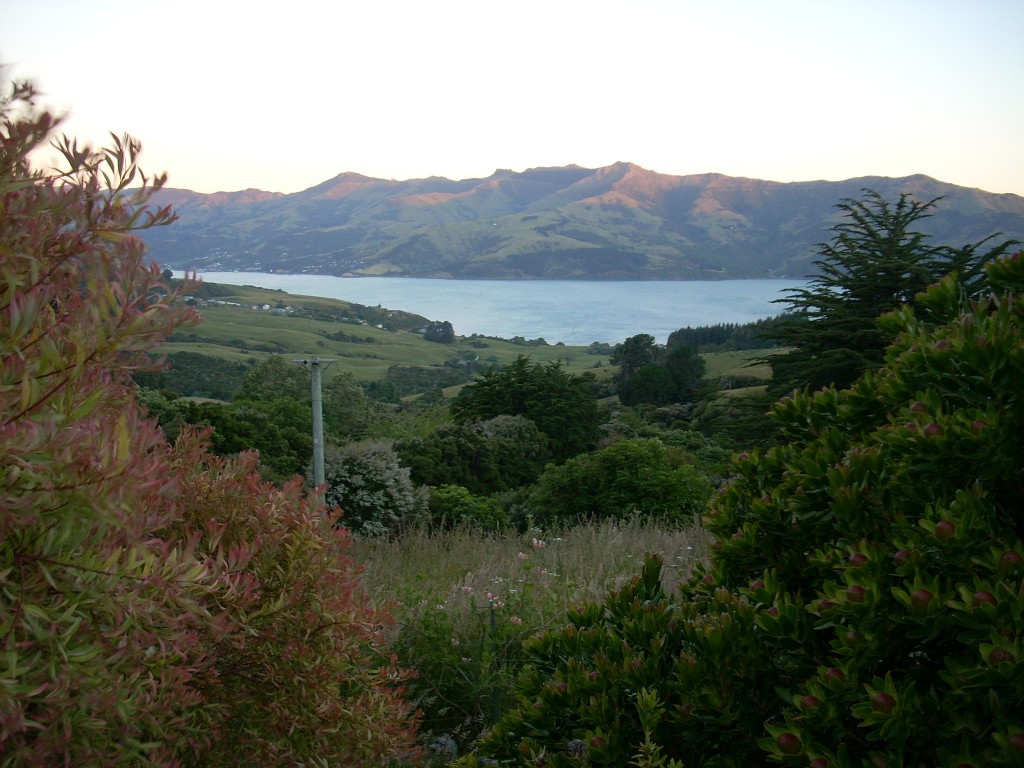
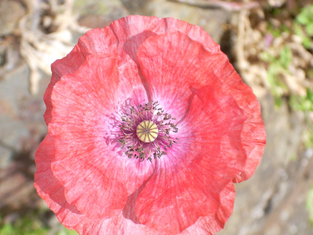
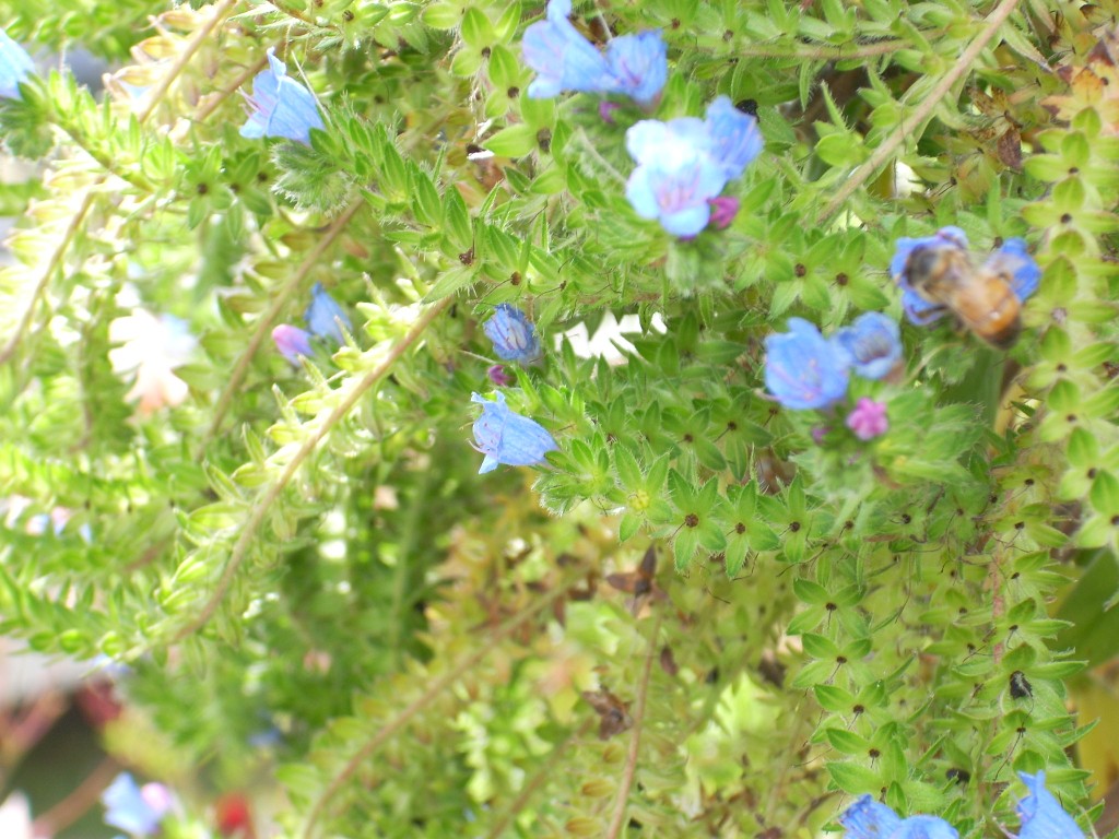
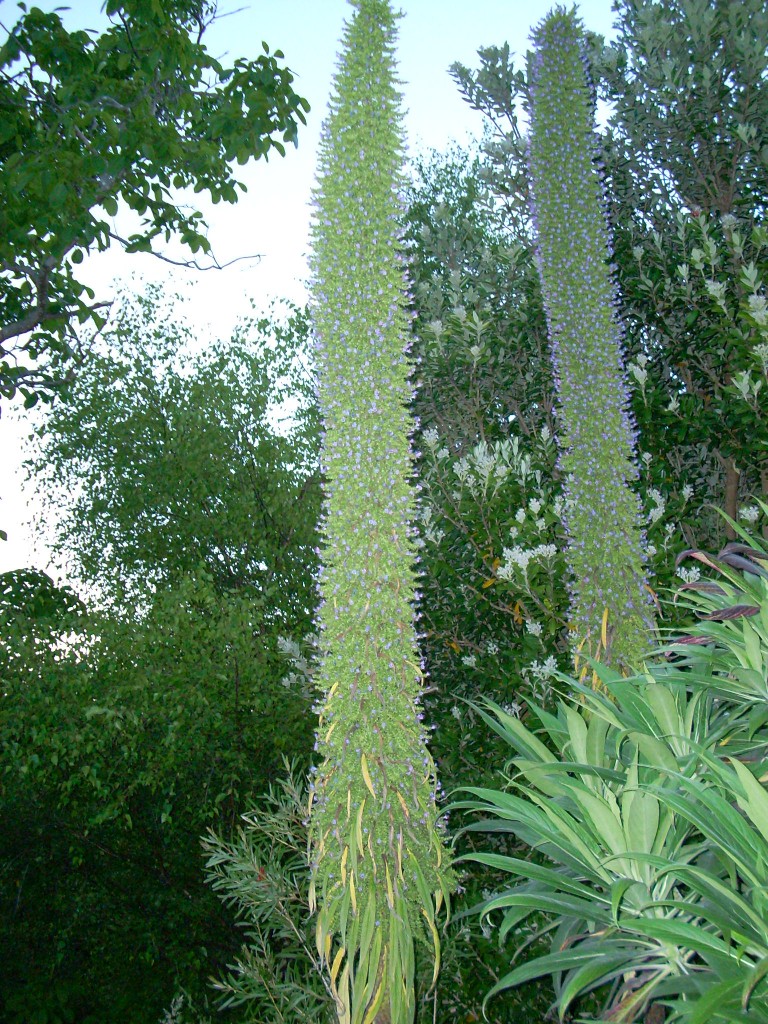
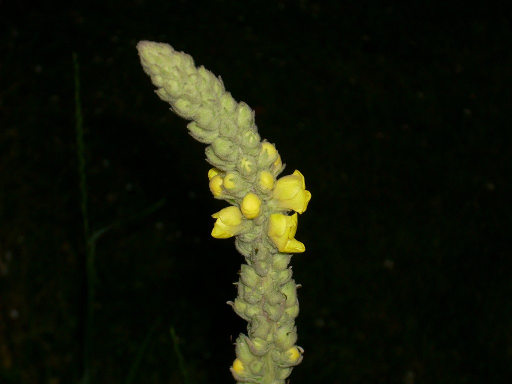
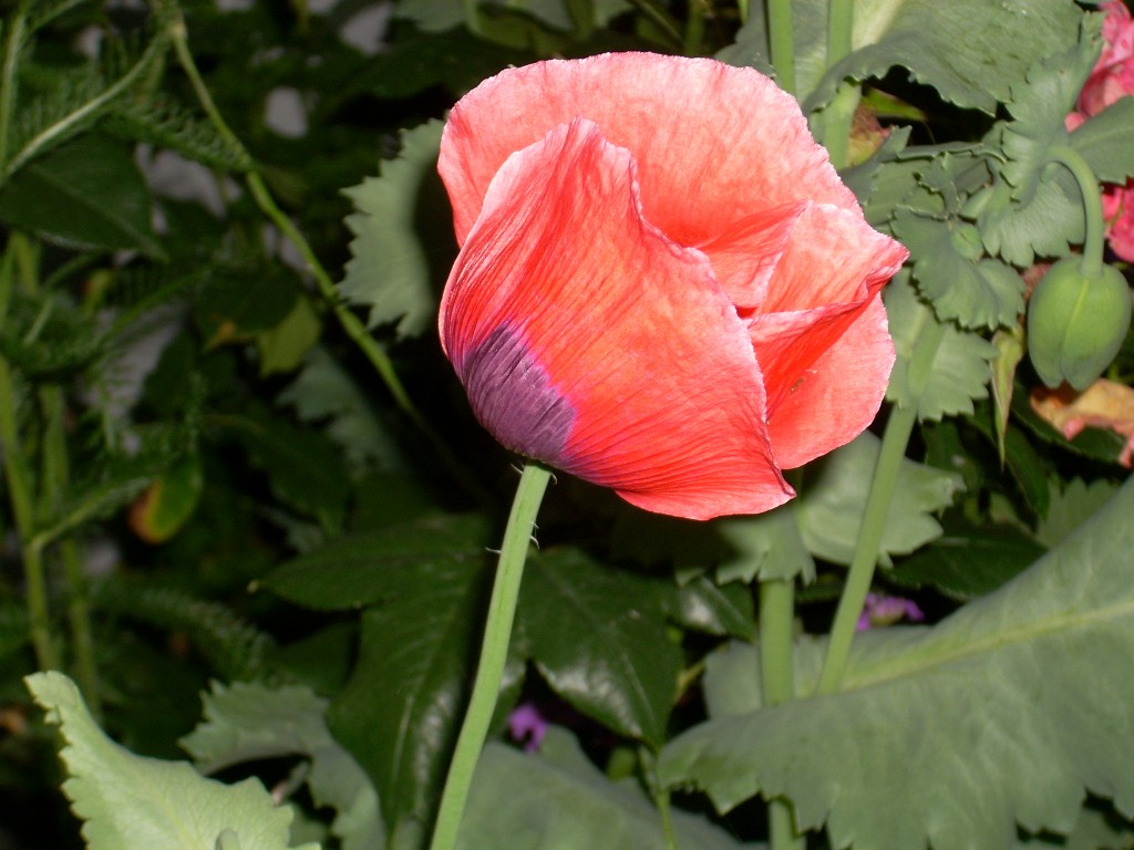
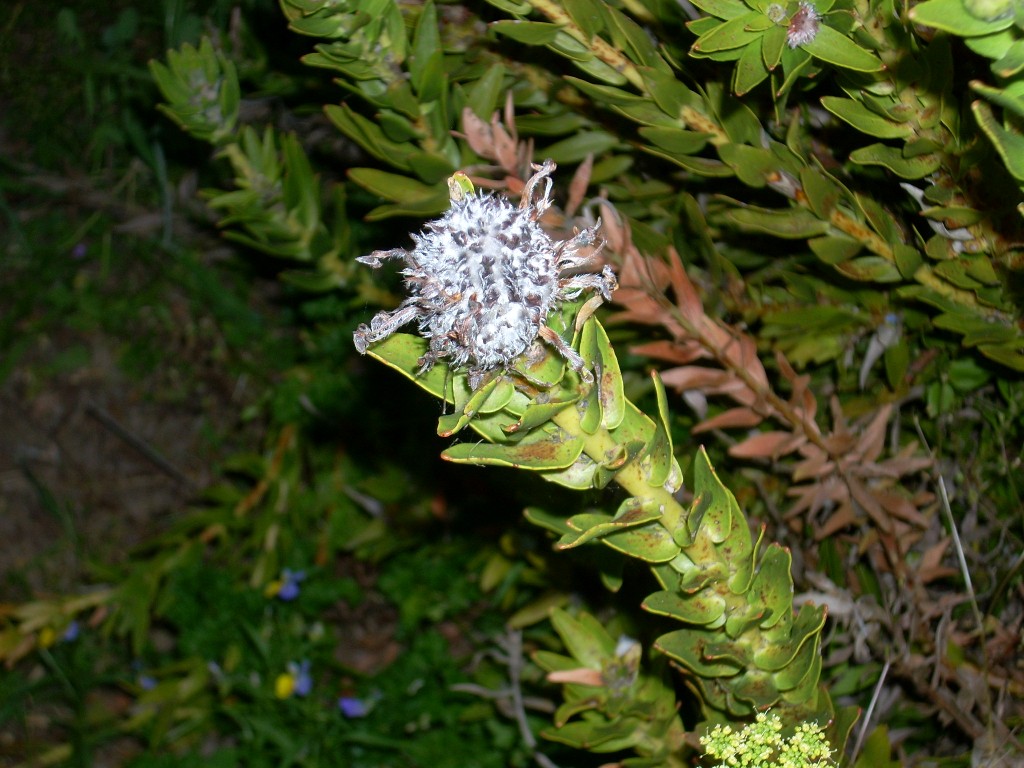
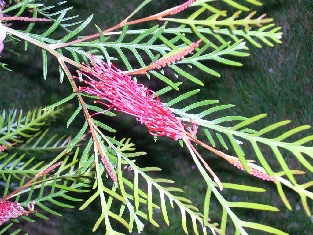
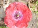
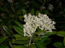
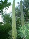
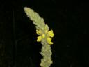
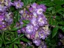
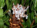
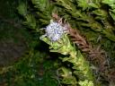
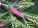
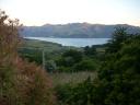
The view from their place is spectacular and the former owners left it well laid out with lawns and beautiful flower beds full of plants, trees and flowers – most of which I had no idea how to identify. After awhile. I walked out and just went around the yard shooting pictures of all the strange and wonderful plants.

dscn0466sm.JPG dscn0465sm.JPG dscn0456sm.JPG

dscn0455sm.JPG dscn0454sm.JPG dscn0453sm.JPG

dscn0451sm.JPG dscn0448sm.JPG dscn0445sm.JPG

dscn0444sm.JPG 
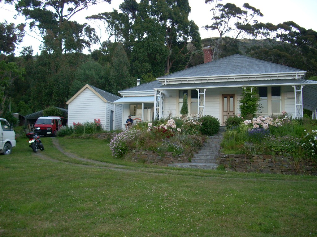
Wow-ee-Zowie, batman – that’s a lot of cool plants. Here are some shots of their house from the outside. The place has a concrete block in the back yard that says, I believe, 1898, or something around there as when this place was settled. I regret that I didn’t shoot more pictures of the outside of the house. It has a big Australian style porch on one side and one morning when it was pouring rain, I went out there and sat safe and dry and watched the wind tossing the trees, the clouds moving above and the rain driving. Glorious.

dscn0467sm.JPG dscn0439sm.JPG

Alex and Kathy doing dishes
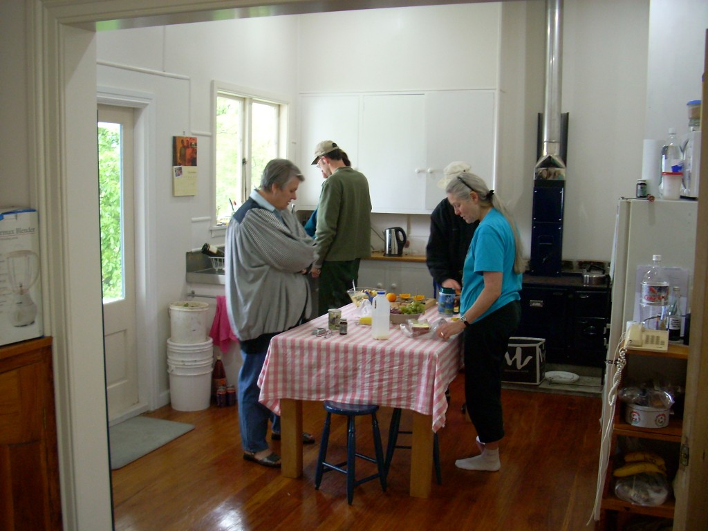
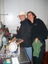
In the house, food preparations were under way. I think most of the folks there could gracefully bear the title of ‘ Organic Food-ees’ which translates to ‘We like to prepare and enjoy food and we think it is ever so much better, and better for us, if it is all organic‘. Food preparation central AKA the Kitchen
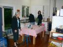
I had brought the makings for two day’s worth of salads and it was all organic having been bought at an all organic food market a day previous. Other folks had collected everything necessary to make organic pizzas and wonderful French Toasts and on and on. The next food event is upon us and Maggie’s with us now
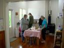
I could see when I arrived that it was going to be a great few days. There was a nice feeling in the house and everyone was having fun. Oh, and since I like food a lot, I thought things were looking promising indeed.More Kitchen, eh? You knew there’d be more…

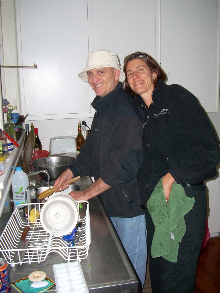
My friends, who know that I am anything but a cook, might be surprised to know I spent a fair amount of time in and around the kitchen. Kathy’s on the phone with family while the preps continue
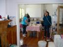
But, having very limited skills, I did a lot of dish washing and kibitzing and helped prepare the salads. Ah yes, and a few beers did get consumed along the way there too.

Much of the three day holiday there centered around the kitchen. It seemed like one meal would be finished and the clean up completed and before long, folks would be bustling about and working on the next culinary adventure. Cooking, cooking, cooking…If we’d been eating normal ‘heavy’ food, this would have been far too much but given that everything we were eating was fairly light and definitely healthy, it was just right – and a lot of fun.

Now, I don’t mean to suggest that nothing else got done. There were many great discussions held along the way. Game time!
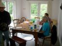
And, Kathy and Bruce also taught us to play a great table game with interesting and complex rules quite unlike anything I’d ever played before. It was more subtle than it looked. I’m pretty sure I understood the rules and the play action The game masters gather - wits are sharpened
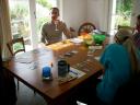
but I’d have to say that most of the strategy may have escaped me since I seemed to have come in last or very near each time we played. It was a hard game for a Leo – but I tried to bear up <smile>.

On the 25th, Mark and his sister, Ingrid, departed in their van headed for Golden Bay up at the north end of the island. We all wondered how far they’d get as we all doubted they’d find any gas stations open on Christmas day. Mark and Ingrid on the brink of departure
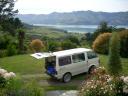
But, they said they had a lot of gas and took off after goodbyes all around, quite undaunted. Very nice people. We heard later that they’d done just fine.

So, there were less of us for the balance of Christmas day. Just Bruce and Kathy, Alex and Tobi and myself. And, of course, Alex and Tobi’s two little dogs; Jules and Ella.

Tobi with Jules (black) and Ella (gray)

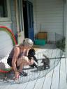
They’d also brought their very cool and vocal cat, Seibu, but he was staying up in their quarters – which was a separate residence on the same property just uphill from the main house.

Each night, some of us seemed to stay up later and later talking. On Christmas night, Bruce and I talked to after 1 AM. On the following evening, we were up yammering away until past 2 AM. Great conversations both evenings. Alex and Tobi generally turn in fairly early. Kathy tried to stay with us but each evening she faded an hour or two earlier that Bruce and I.

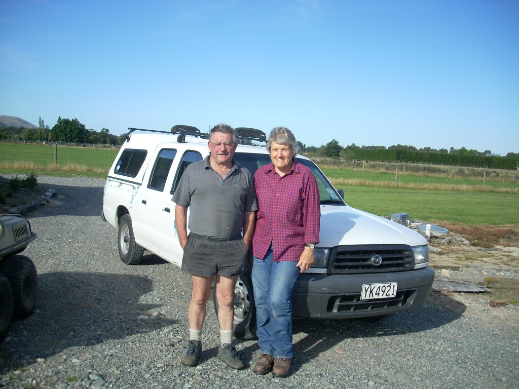
On the 26th, Maggie and her husband, Roelf, who are both South African immigrants to New Zealand arrived for the day. Needless to say <smile>, the only possible response to this incursion was – more food preparation! So, more pizzas were cooked and salads made and we feasted yet once again. And then the table game began again with Roelf now as ‘the new blood’. But, he was much better at it than I was in spite of my head-start and so I cleaned up at the rear of the pack again.

I discovered that Roelf and I shared an interest in isolated and remote islands and once we began talking, it was evident that he’d had a lot of interesting experiences along this line. After he graduated from University, he’d applied for and been accepted into South Africa’s National Antarctic Programme and went down and spent a year at South Africa’s Antarctic base, SANAE IV . Later, he also spent a year on Marion Island and also some time on Gough Island as well. I found all of this extremely interesting.

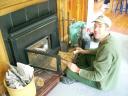
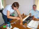
On Christmas Day, after Mark and Ingrid had gone and during the preparation of the next meal, the house’s water ran out. The spigots just blew air when you opened them. Bruce went out to have a look and I joined him a bit later.

Simple, eh?The water for their place comes from a spring that’s up the hill from their main house. From the spring, it flows downhill by gravity and into a large above-ground plastic water tank. I’d guess this must hold 5000 gallons or so when full. Bruce thought that the flow from the spring had stopped and was investigating that possibility when I looked into the water tank and saw that it was half full. Men at workAt that point, I suggested that with that much water ready to go, we should look for the problem between the tank and the house. He agreed.

The first thing we did, after a brief look at the pump and air-bladder tank at the house, was to unhook the hoses from the tank’s output side and open the valve to see if we had flow at that point. We did not. I thought then that there must be something in the tank plugging the outflow. But, when we opened the lid and again and looked closer, we could see that the outflow pipe actually came half way up to the top of the tank and therefore the tank would only deliver water until its level had dropped to the half-way point. This meant that Bruce had been ight in the first place to suspect the circuit between the spring and the tank.

While I was reconnecting pipes on the outflow side, he began to investigate the pipes on the inflow side and in just a moment or two I heard the sweet sound of water running into the tank from the spring. He’d opened and closed an overflow valve and somehow that had cleared the problem and all was well again and a lot more was known about how the water system there worked. Plumbing heros!And that’s a good thing because water is definitely important.

We returned to the house while the women ran in front of us scattering flowers at out feet and praising our vast plumbing skills … what? No one else remembers that? Ah, perhaps I just imagined that part, eh?

But, the truth is no one was unhappy that the water was back on <smile>.

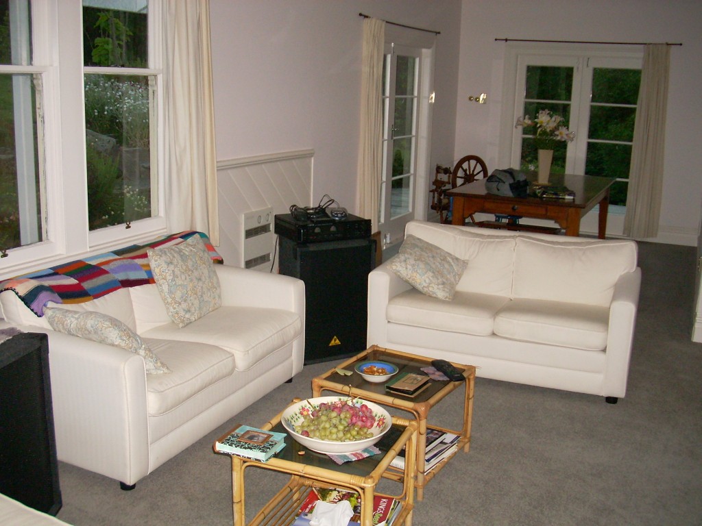
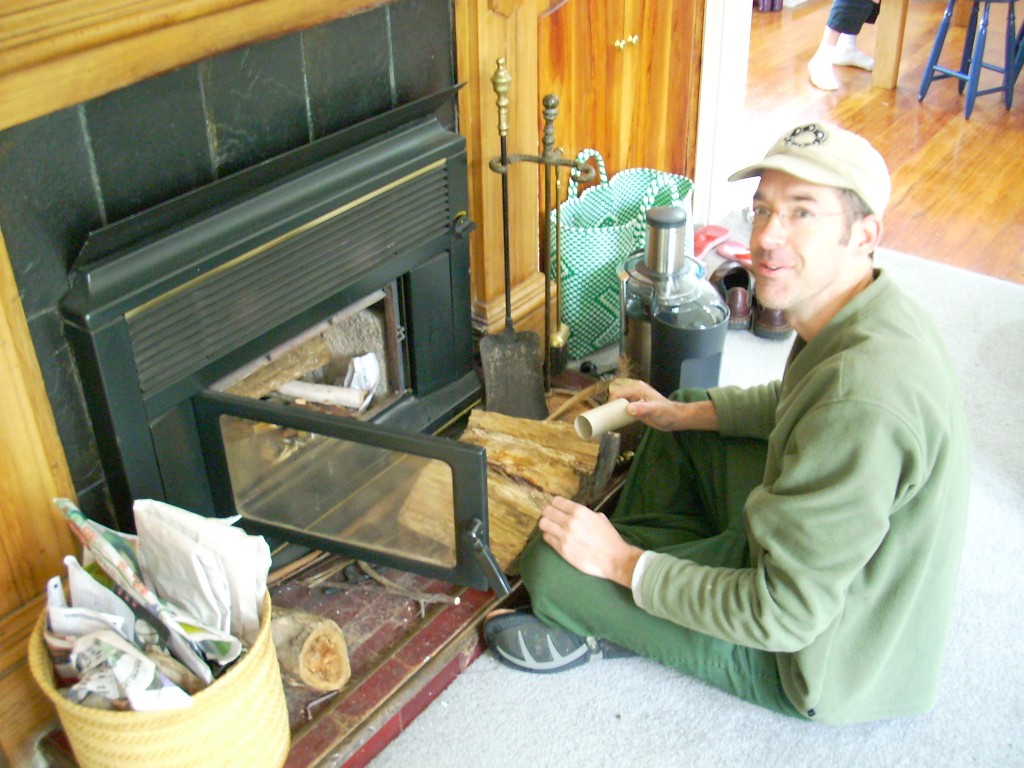
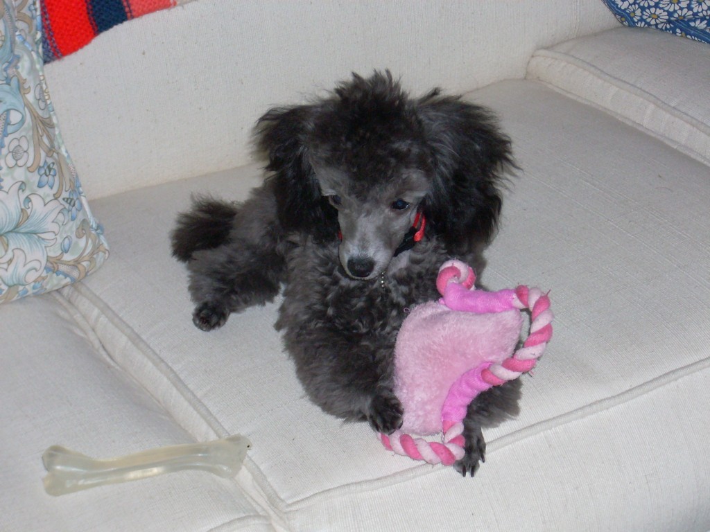
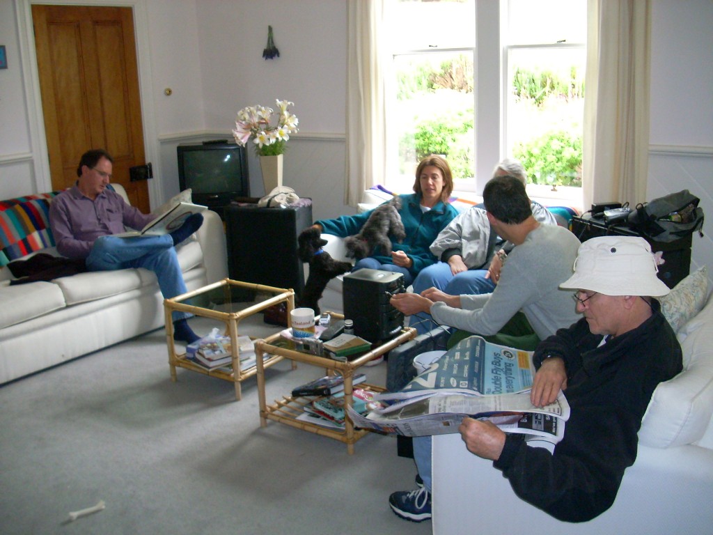
Here’s a block of additional photos I shot inside the house. Run your mouse over each photo to see a brief explanation and click on any photos to see a bigger version of it.

Living room where many good discussions were held The fireplace - a warm friend indeed
Bruce prepares to make a fire

Is that a cute dog or what? Between meals - Roelf on the left then Kathy, Maggie, Bruce and Alex Kathy works on weaving while talking with Maggie

Originally, I had intended to stay until the afternoon of the 26th but we were having so much fun, and Kathy and Bruce didn’t mind, so I stayed on until the morning of the 27th. Oh, those late night talkersI’m glad I did or I’d have missed the long talk Bruce and I had until after 2 AM that night. We covered religion, philosophy and the world’s situation. It was a great ramble.

Finally, about mid-day on the 27th, I packed up and left. Maggie and Roelf had been nice enough to carry my juicer home in their car and all the food I’d brought had been consumed so I was actually traveling light which is always nice on a motorcycle.

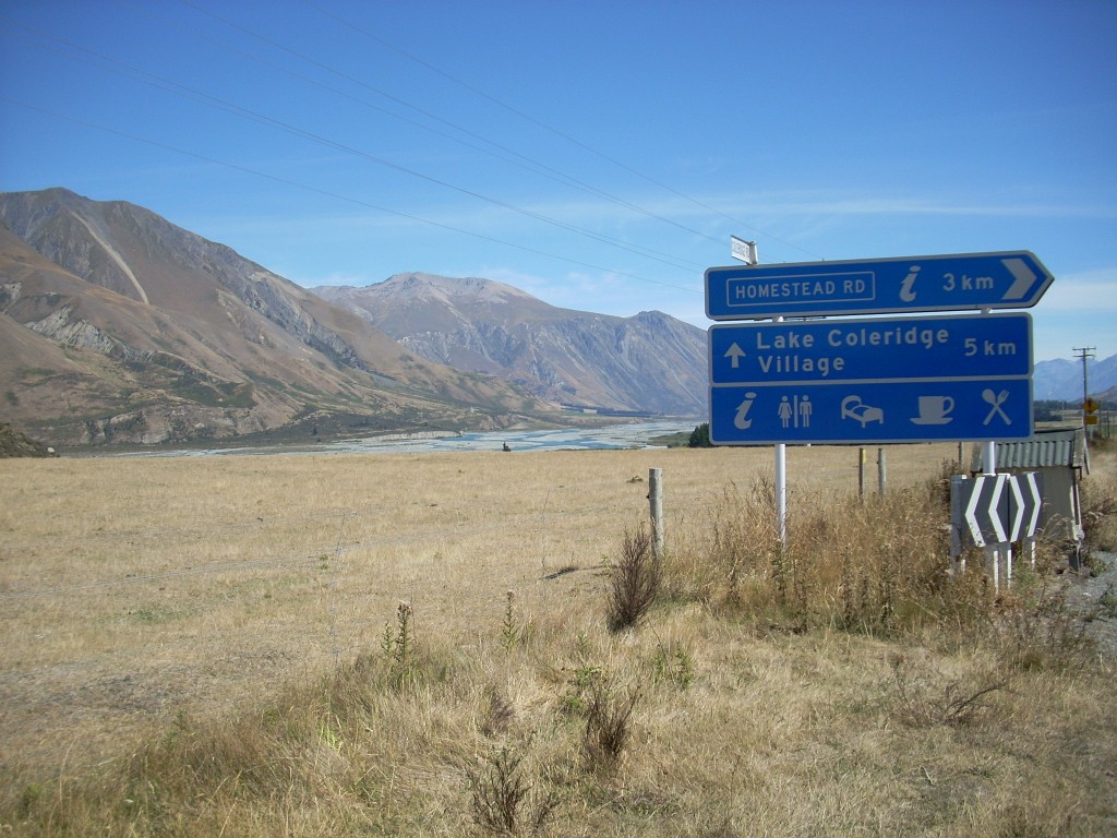
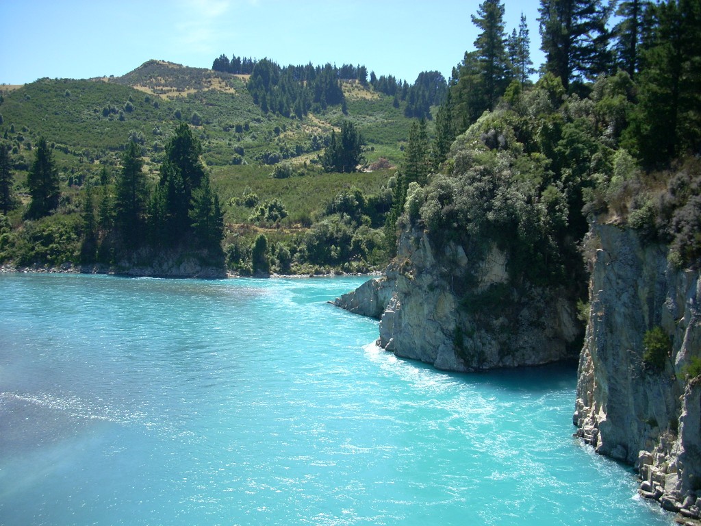
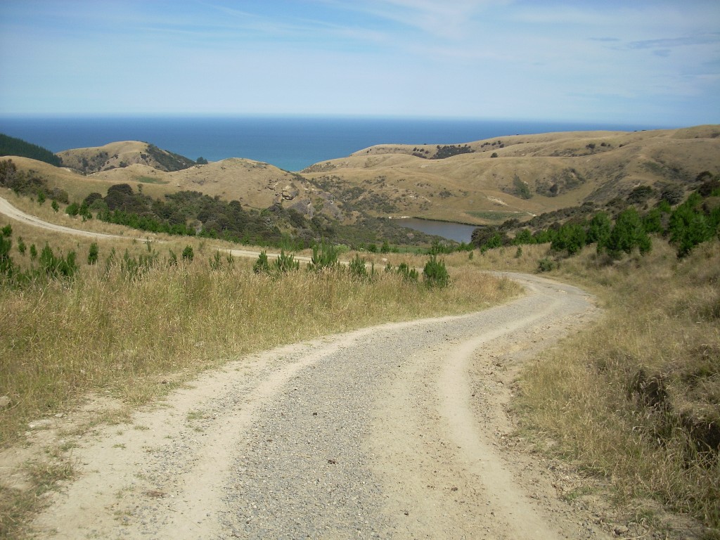
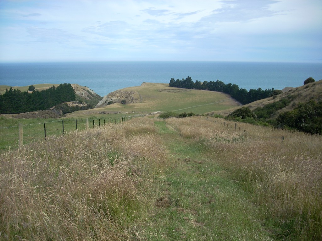
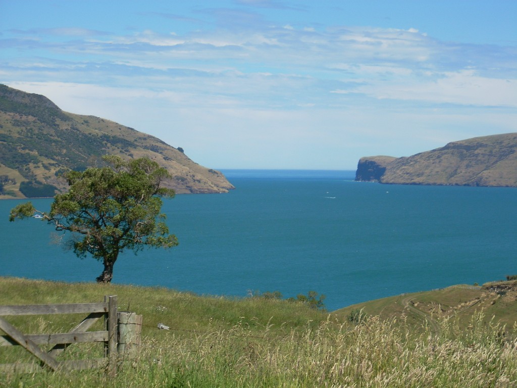
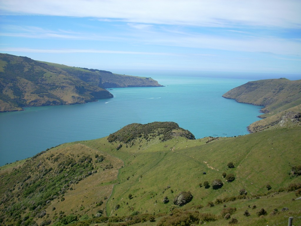
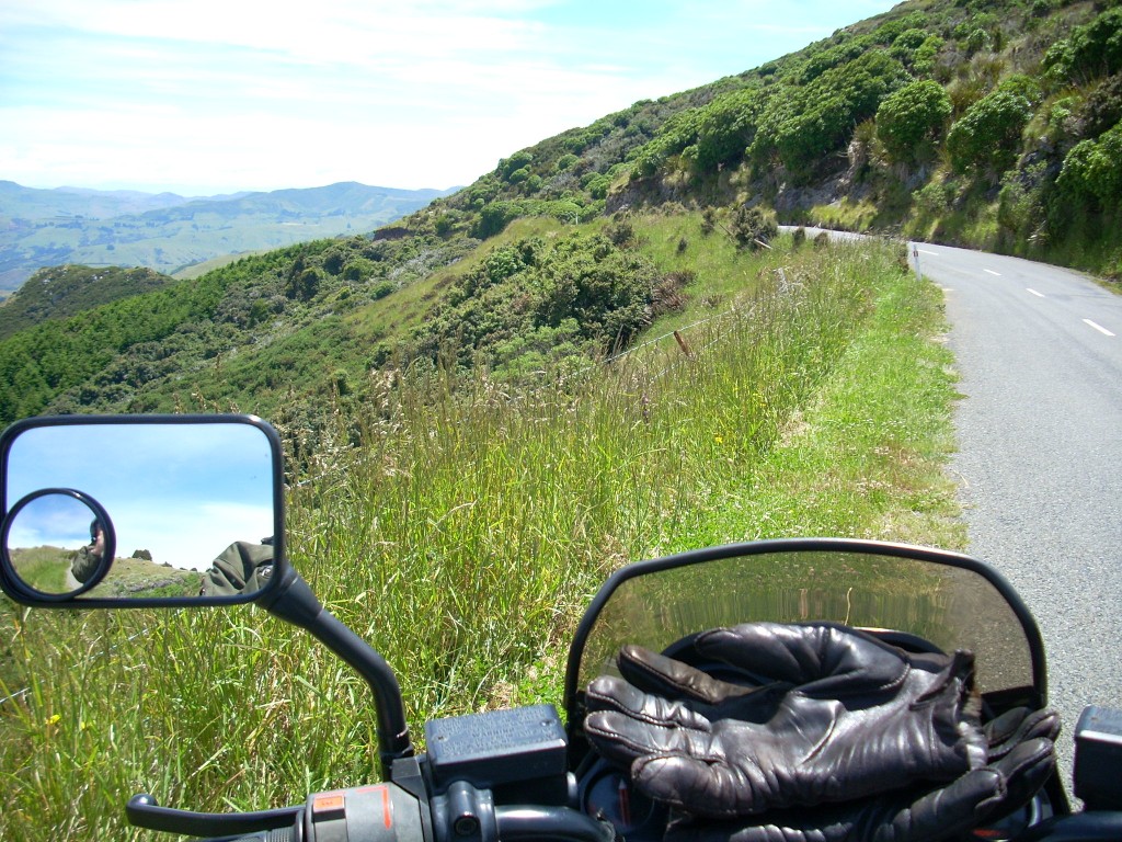
I headed south from Bruce and Kathy’s down along the western shore of Akaroa Harbor towards the gap where the Pacific Ocean comes in. As the road begins to climb
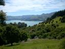
The small paved road wound along near the water for awhile and then it began to climb until it was nearly 2000 feet up. All along were beautiful views of the peninsula and the harbor. Closer to the harbor’s opening to the Pacific
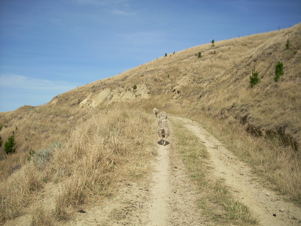
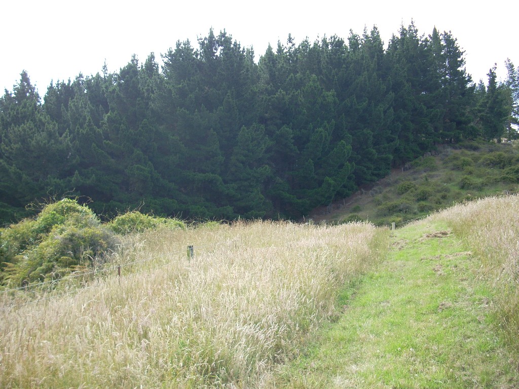
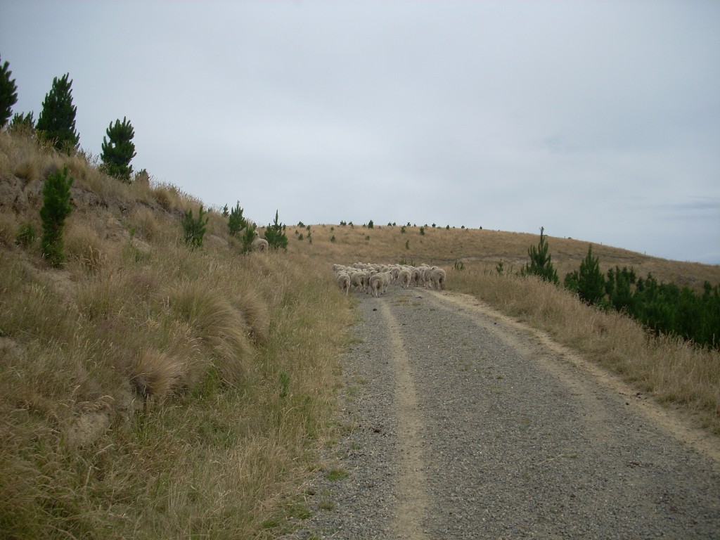
Finally, the road changed to gravel and continued. Cattle behind the fences on either side inspected me as I passed. They had no idea how beautiful their grazing fields were. I continued on over the gravel though it is a bit dicey on a heavy motorcycle with street tires and a lot of power. The tires squirm from side to side as they push the gravel aside and using the brakes is something one has to do with caution. The road to Land’s EndFinally, the road took a steep decent and several sharp switchbacks and I decided to turn around. I could just see myself going into a slide on the sharp slope and then off the end of a switchback – yuk!

I back-tracked by Bruce and Kathy’s and shot the photo (posted above) of their place from Cemetery Road (the road across the Wainui Valley from theirs). Then I continued on and swung around the northern end of the harbor, bought some gas at Duvauchelle and then continued towards Akaroa where a road called the Summit Road begins.

The Summit Road climbs to and then follows the highest backbone of the Banks Peninsula so the views from it are awesome. Motorcycling along the Banks Peninsula Summit roadFrom up there, I could look across the harbor to Wainui and I took a telephoto shot of Bruce and Kathy’s valley (also posted above).

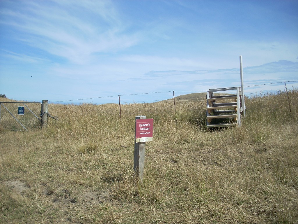
Soon, I came to a side road to Le Bon Bay and I took it. This took me due west sown a long and beautiful verdant green valley to finally to a bay at the end of the valley. There were a few homes along the road and a collection of about 10 baches (New Zealand lingo for a small vacation home or shack) at the end of the road by the bay. No stores, no services. Just one very beautiful place at the end of the earth.

There were two or three tractors out on the sand. They often use tractors to back the boats and their trailers into the surf where the boats are floated off and then the tractor pulls the empty trailer back up onto the beach until it is needed. I’m not sure, but I think some of the tractor owners make spare money by performing this service for the boaties.

I stood out on the beach and put my camera into movie mode and then did a long slow turn-around panorama of the bay. I’m glad I did it because I still have the video clip but doing this somehow confused my camera and after that, it wouldn’t shoot any more pictures; still or moving. That was a bit of a bummer.

About the same time, I noticed that the beautiful skies were beginning to cloud over and the air was getting cooler. Mmmmm. Could be time to move on.

Same map as above

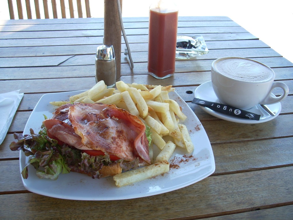
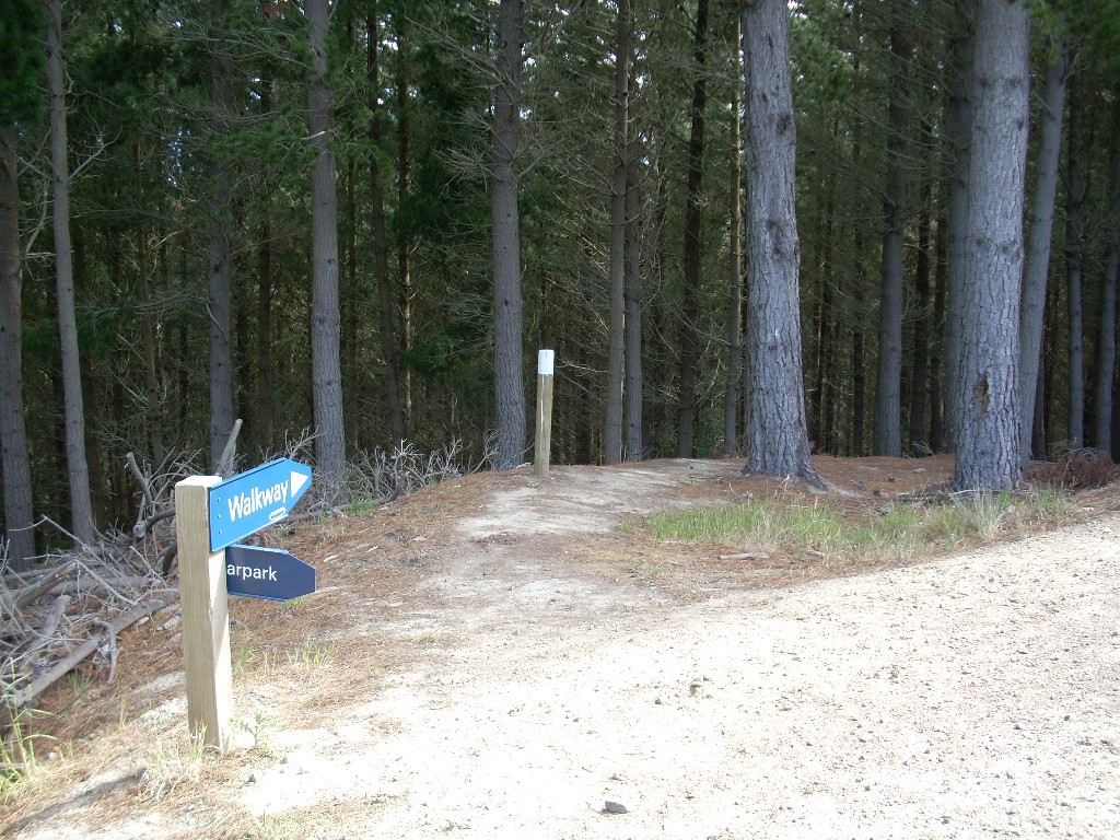
I rode back up out of the valley, which again was an ascent from sea level to over 2000 feet, and continued north on the Summit Road. I passed several more interesting side roads down to places like Okains Bay and Little Akaloa Bay but I’d decided to save them for my next foray. it was getting cold and I was wondering if my camera could be recovered or not so I decided to push back to Little River, get a bite to eat and a Latte and then blaze for home.

– – – – – – – – – – – – –

Postscript: Kathy and Bruce have posted their photos of Christmas at Wainui as well and they are excellent. They can be found here: Once you get to the photos, just click ‘View Photos’. You do not have to join the site to see them.

071218 – Tuesday – New Zealand Friends

Monday, December 17th, 2007

Left to right: Graham, Judy and Keith

New Zealanders are a friendly bunch of folks and none have been nicer to me than the folks here in the compound where our apartment is. Keith, the building manager and Graham and Graham’s wife, Judy, have made me feel very welcomed.

They’ve had me to dinner several times, been up to my place for Thai take-out and we’ve played many tennis games over the last month and a half. They have made being here a great pleasure.